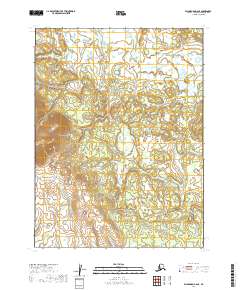
2019 Map of Dillingham B-6 SE
USGS Topo · Published 2019About this map
Koklong Creek meanders through this portion of the Dillingham Census Area, defining the primary drainage for a landscape shaped by glacial activity and post-glacial wetland development. The topography here is characterized by numerous small lakes and ponds that pockmark the terrain between subtle ridges and low hills. The cartography reveals a transition from the elevated western terrain into the more complex hydrography of the eastern sections. This 2019 survey documents the intricate network of water bodies and the subtle relief of the Togiak National Wildlife Refuge region, providing a baseline for environmental studies and land management in this portion of southwest Alaska. The absence of roads or established structures highlights the isolation of this interior territory, where geographical features like Koklong Creek serve as the primary landmarks for navigation and land division within the township and range system.
Find a feature on this map
7 named features on this map. Tap any name to fly to it.
Don’t see what you’re looking for? This feature index may not catch every label — zoom into the map to look around manually.
Map Details
Editions of this 2019 Dillingham B-6 SE Map
This is the sole edition of this map. No revisions or reprints were ever made.
Other maps of this area

1951 · Dillingham
USGS Topo · 1:250,000

1952 · Dillingham A-5
USGS Topo · 1:63,360

1952 · Dillingham A-6
USGS Topo · 1:63,360

1954 · Dillingham
USGS Topo · 1:250,000

1954 · Dillingham B-6
USGS Topo · 1:63,360
1954 · Dillingham B-5
USGS Topo · 1:63,360
2019 · Dillingham B-6 SW
USGS Topo · 1:25,000
2019 · Dillingham B-6 NE
USGS Topo · 1:25,000
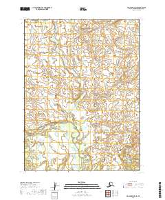
2019 · Dillingham B-5 NW
USGS Topo · 1:25,000
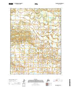
2019 · Dillingham B-5 SW
USGS Topo · 1:25,000