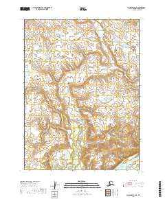
2019 Map of Dillingham C-4 SE
USGS Topo · Published 2019About this map
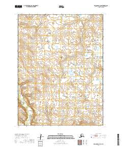
New Stuyahok sits at the southern edge of this southwestern Alaska landscape, where human settlement meets the complex drainage systems of the Nushagak River valley. The terrain is defined by the winding course of the Nushagak River and its various tributaries, including the northward-reaching Tunravik Cr. This 2019 survey documents a region dominated by wetlands and intricate water systems, reflecting the subsistence-focused geography of the Dillingham Census Area. The map illustrates the proximity of the village to the river systems that have traditionally provided both transportation and resources for the community. Beyond the immediate settlement, the landscape transitions into a vast network of smaller ponds and seasonal waterways typical of the Alaskan interior's tundra and riverine environments.
Find a feature on this map
9 named features on this map. Tap any name to fly to it.
Don’t see what you’re looking for? This feature index may not catch every label — zoom into the map to look around manually.
Map Details
Editions of this 2019 Dillingham C-4 SE Map
This is the sole edition of this map. No revisions or reprints were ever made.
Other maps of this area

1951 · Dillingham
USGS Topo · 1:250,000

1954 · Dillingham
USGS Topo · 1:250,000

1954 · Dillingham B-4
USGS Topo · 1:63,360

1954 · Dillingham C-3
USGS Topo · 1:63,360

1954 · Dillingham B-3
USGS Topo · 1:63,360

1954 · Dillingham C-4
USGS Topo · 1:63,360
2019 · Dillingham B-4 NW
USGS Topo · 1:25,000
2019 · Dillingham C-3 NW
USGS Topo · 1:25,000
2019 · Dillingham B-3 NW
USGS Topo · 1:25,000
2019 · Dillingham C-4 SW
USGS Topo · 1:25,000