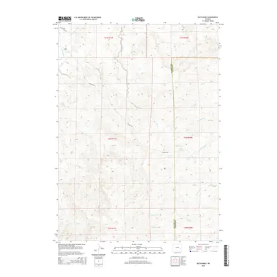
2015 Map of Dilts Ranch
USGS Topo · Published 2015About this map
Dilts Ranch and the surrounding high plains of Converse County are defined by a complex network of waterways and historic western paths. This part of Wyoming is heavily marked by the legacy of westward expansion, most notably the Emigrant Trl, which winds through the central and eastern sections of the landscape. The terrain is deeply carved by numerous drainages, including La Bonte Cr in the northwest and Indian Cr near the Platte County line. The mapping of the Esterbrook Route indicates the continued importance of these established corridors for accessing the more isolated ranching and agricultural lands. Together with N Elkhorn Cr and Coffee Cr, these landmarks reflect a landscape where natural water sources and historical transit routes have dictated settlement patterns for generations.
Find a feature on this map
17 named features on this map. Tap any name to fly to it.
Don’t see what you’re looking for? This feature index may not catch every label — zoom into the map to look around manually.
Map Details
Editions of this 2015 Dilts Ranch Map
This is the sole edition of this map. No revisions or reprints were ever made.
Other maps of this area

1943 · Esterbrook
USGS Topo · 1:62,500

1945 · Esterbrook
USGS Topo · 1:62,500

1949 · Irvine
USGS Topo · 1:24,000

1949 · Poison Lake
USGS Topo · 1:24,000

1949 · Cedar Hill
USGS Topo · 1:24,000

1949 · Spring Creek
USGS Topo · 1:24,000

1949 · Dilts Ranch
USGS Topo · 1:24,000

1949 · Chalk Buttes
USGS Topo · 1:24,000

1949 · Orin
USGS Topo · 1:24,000

1950 · Spring Creek
USGS Topo · 1:24,000