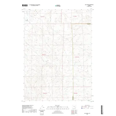
2017 Map of Dilts Ranch
USGS Topo · Published 2017About this map
Dilts Ranch serves as a primary marker in this section of the Wyoming high plains, situated near the northwestern corner where La Bonte Cr flows through the drainages. A notable historic corridor, the Emigrant Trl, cuts across the northwestern corner of the quadrangle, preserving the physical memory of westward expansion routes. The landscape is defined by a complex network of seasonal and perennial drainages including Sand Creek, Spring Cr, and Indian Cr, which carve into the terrain across the border of Converse and Platte Counties. Further south, the map details the upper reaches of N Elkhorn Cr and Coffee Cr, illustrating the rugged water-carved topography that dictated early ranching boundaries and transportation paths in this part of the state.
Find a feature on this map
18 named features on this map. Tap any name to fly to it.
Don’t see what you’re looking for? This feature index may not catch every label — zoom into the map to look around manually.
Map Details
Editions of this 2017 Dilts Ranch Map
This is the sole edition of this map. No revisions or reprints were ever made.
Other maps of this area

1943 · Esterbrook
USGS Topo · 1:62,500

1945 · Esterbrook
USGS Topo · 1:62,500

1949 · Irvine
USGS Topo · 1:24,000

1949 · Poison Lake
USGS Topo · 1:24,000

1949 · Cedar Hill
USGS Topo · 1:24,000

1949 · Spring Creek
USGS Topo · 1:24,000

1949 · Dilts Ranch
USGS Topo · 1:24,000

1949 · Chalk Buttes
USGS Topo · 1:24,000

1949 · Orin
USGS Topo · 1:24,000

1950 · Spring Creek
USGS Topo · 1:24,000