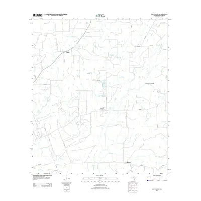
2013 Map of Dilworth
USGS Topo · Published 2013About this map
Little New York and the surrounding ranchlands of Gonzales County are defined by a complex network of seasonal creeks and private stock tanks. Situated along FM-532, this settlement sits near the Saint James Cem and several small water bodies including Parker Lake and Poque Lake. To the north and west, the landscape is punctuated by the isolated communities of Saturn and Hickston, connected by a grid of numbered county roads such as Co RD 386 and Co RD 420.
Find a feature on this map
64 named features on this map. Tap any name to fly to it.
Don’t see what you’re looking for? This feature index may not catch every label — zoom into the map to look around manually.
Map Details
Editions of this 2013 Dilworth Map
This is the sole edition of this map. No revisions or reprints were ever made.
Other maps of this area

1901 · Flatonia
USGS Topo · 1:125,000

1953 · Seguin
USGS Topo · 1:250,000

1958 · Seguin
USGS Topo · 1:250,000

1959 · Gonzales South
USGS Topo · 1:24,000

1959 · Hamon
USGS Topo · 1:24,000

1962 · Dilworth
USGS Topo · 1:24,000
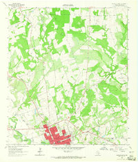
1962 · Gonzales North
USGS Topo · 1:24,000
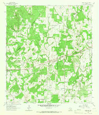
1964 · Sandy Fork
USGS Topo · 1:24,000

1964 · Waelder
USGS Topo · 1:24,000
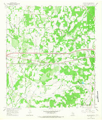
1965 · Flatonia NW
USGS Topo · 1:24,000