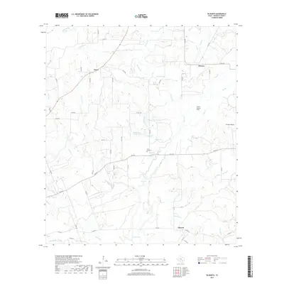
2019 Map of Dilworth
USGS Topo · Published 2019About this map
Saint James Cem and the small settlement of Dilworth anchor the southern reaches of this Gonzales County landscape, where the terrain is defined by an intricate network of creeks and small, named catchment lakes. The rural character of the area is evident in the scattered communities of Saturn and Hickston, connected by a web of county roads like Co RD 388 and Co RD 353.
Find a feature on this map
63 named features on this map. Tap any name to fly to it.
Don’t see what you’re looking for? This feature index may not catch every label — zoom into the map to look around manually.
Map Details
Editions of this 2019 Dilworth Map
This is the sole edition of this map. No revisions or reprints were ever made.
Other maps of this area
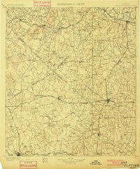
1901 · Flatonia
USGS Topo · 1:125,000

1953 · Seguin
USGS Topo · 1:250,000
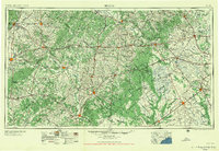
1958 · Seguin
USGS Topo · 1:250,000
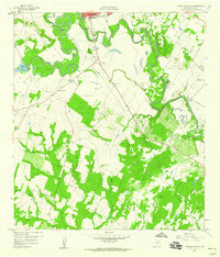
1959 · Gonzales South
USGS Topo · 1:24,000
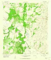
1959 · Hamon
USGS Topo · 1:24,000
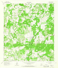
1962 · Dilworth
USGS Topo · 1:24,000
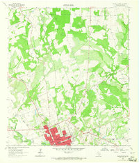
1962 · Gonzales North
USGS Topo · 1:24,000
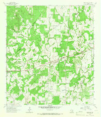
1964 · Sandy Fork
USGS Topo · 1:24,000
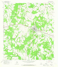
1964 · Waelder
USGS Topo · 1:24,000
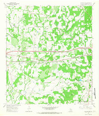
1965 · Flatonia NW
USGS Topo · 1:24,000