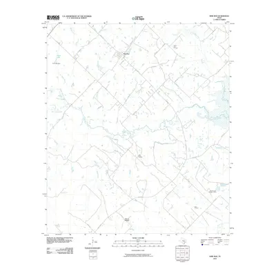
2010 Map of Dime Box
USGS Topo · Published 2010About this map
Dime Box serves as the primary hub in this rural Lee County landscape, where a network of county roads connects scattered homesites and agricultural lands. The terrain is defined by the complex drainage of the Yegua Creek system, including the Middle Yegua Creek, West Yegua Creek, and East Yegua Creek. These waterways, along with smaller tributaries like Boggy Branch and Nails Creek, dictate the placement of local infrastructure and crossings.
Find a feature on this map
41 named features on this map. Tap any name to fly to it.
Don’t see what you’re looking for? This feature index may not catch every label — zoom into the map to look around manually.
Map Details
Editions of this 2010 Dime Box Map
This is the sole edition of this map. No revisions or reprints were ever made.
Other maps of this area

1919 · Giddings
USGS Topo · 1:62,500

1919 · Dime Box
USGS Topo · 1:62,500

1954 · Austin
USGS Topo · 1:250,000

1956 · Somerville
USGS Topo · 1:62,500

1958 · Ledbetter
USGS Topo · 1:24,000

1958 · Carmine
USGS Topo · 1:24,000
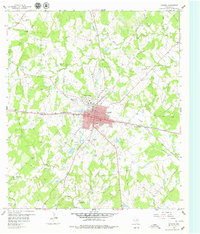
1958 · Giddings
USGS Topo · 1:24,000

1959 · Flag Pond
USGS Topo · 1:24,000
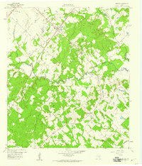
1959 · Dime Box
USGS Topo · 1:24,000
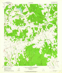
1960 · Tanglewood
USGS Topo · 1:24,000