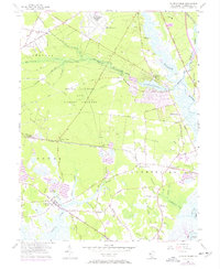
1956 Map of Dividing Creek
USGS Topo · Published 1972About this map
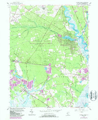
The tidal marshes and timbered swamplands of Cumberland County dominate this mid-century landscape, centered on the complex drainage of Dividing Creek. To the east, the Maurice River provides a navigable corridor for coastal industry, with the village of Mauricetown and its neighboring Mauricetown Sta serving as historic hubs for river commerce and rail transport. The interior is defined by extensive wetlands like Buckshutem Swamp and the expansive State Hunting and Fishing Grounds, illustrating a land use pattern shifting from traditional resource extraction toward conservation and recreation.
Find a feature on this map
66 named features on this map. Tap any name to fly to it.
Don’t see what you’re looking for? This feature index may not catch every label — zoom into the map to look around manually.
Map Details
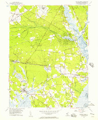
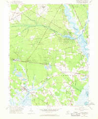
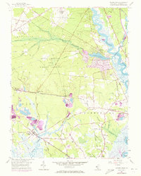
Editions of this 1956 Dividing Creek Map
6 editions found
Other maps of this area

1888 · Dennisville
USGS Topo · 1:62,500

1890 · Tuckahoe
USGS Topo · 1:62,500

1890 · Maurice Cove
USGS Topo · 1:62,500

1890 · Bridgeton
USGS Topo · 1:62,500

1891 · Maurice Cove
USGS Topo · 1:62,500

1893 · Tuckahoe
USGS Topo · 1:62,500

1894 · Dennisville
USGS Topo · 1:62,500

1894 · Bridgeton
USGS Topo · 1:62,500

1899 · Vineland
USGS Topo · 1:125,000

1918 · Tuckahoe
USGS Topo · 1:62,500
Featured Places
- Millville, NJ
- Maurice River Township, NJ
- Commercial Township, NJ
- Lawrence Township, NJ
- Downe Township, NJ