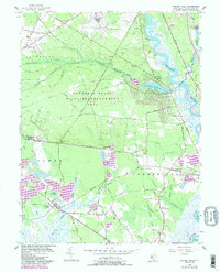
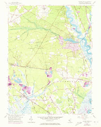
1956 Map of Dividing Creek
USGS Topo · Published 1987About this map
Dividing Creek sits at the heart of this landscape, where the tidal reaches of Cumberland County meet the expansive Buckshutem Swamp. In the mid-1950s, the region maintained a distinct separation between its upland woods and the marshy riverfronts of the Maurice River. The Conrail line, formerly the Central Railroad of New Jersey, defines the central corridor with stops at Dividing Creek Sta, Whitehead Sta, and Mauricetown Sta.
Find a feature on this map
77 named features on this map. Tap any name to fly to it.
Don’t see what you’re looking for? This feature index may not catch every label — zoom into the map to look around manually.
Map Details
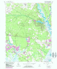
Editions of this 1956 Dividing Creek Map
6 editions found
Other maps of this area

1888 · Dennisville
USGS Topo · 1:62,500

1890 · Tuckahoe
USGS Topo · 1:62,500

1890 · Maurice Cove
USGS Topo · 1:62,500

1890 · Bridgeton
USGS Topo · 1:62,500

1891 · Maurice Cove
USGS Topo · 1:62,500

1893 · Tuckahoe
USGS Topo · 1:62,500

1894 · Dennisville
USGS Topo · 1:62,500

1894 · Bridgeton
USGS Topo · 1:62,500

1899 · Vineland
USGS Topo · 1:125,000

1918 · Tuckahoe
USGS Topo · 1:62,500
Featured Places
- Millville, NJ
- Maurice River Township, NJ
- Commercial Township, NJ
- Lawrence Township, NJ
- Downe Township, NJ