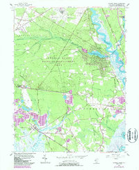
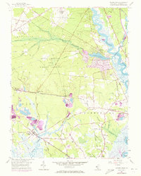
1956 Map of Dividing Creek
USGS Topo · Published 1987About this map
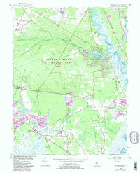
The Maurice River and its intricate network of tributaries define this landscape in Cumberland County, where the transition from dense woodland to tidal marsh is marked by centuries-old maritime and agricultural settlements. The eastern boundary is shaped by the river's winding path past Burcham and the riverfront village of Mauricetown, while the vast Edward G Bevan Wildlife Management Area occupies the central interior, preserving the characteristic pine and oak forests of the region.
Find a feature on this map
83 named features on this map. Tap any name to fly to it.
Don’t see what you’re looking for? This feature index may not catch every label — zoom into the map to look around manually.
Map Details
Editions of this 1956 Dividing Creek Map
6 editions found
Other maps of this area

1888 · Dennisville
USGS Topo · 1:62,500

1890 · Tuckahoe
USGS Topo · 1:62,500

1890 · Maurice Cove
USGS Topo · 1:62,500

1890 · Bridgeton
USGS Topo · 1:62,500

1891 · Maurice Cove
USGS Topo · 1:62,500

1893 · Tuckahoe
USGS Topo · 1:62,500

1894 · Dennisville
USGS Topo · 1:62,500

1894 · Bridgeton
USGS Topo · 1:62,500

1899 · Vineland
USGS Topo · 1:125,000

1918 · Tuckahoe
USGS Topo · 1:62,500
Featured Places
- Millville, NJ
- Maurice River Township, NJ
- Commercial Township, NJ
- Lawrence Township, NJ
- Downe Township, NJ