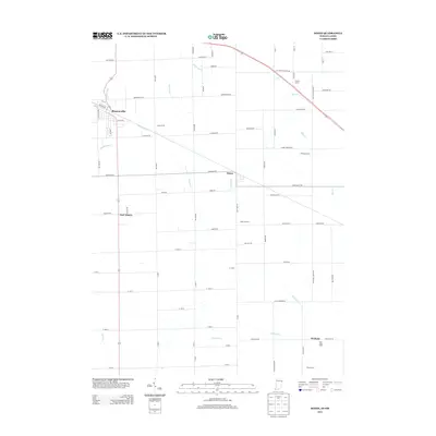
2013 Map of Dixon
USGS Topo · Published 2013About this map
Monroeville anchors the northwestern corner of this Indiana and Ohio borderlands map, where the town street grid transitions into a vast expanse of agricultural holdings. The landscape is defined by its drainage and irrigation network, which supports several prominent family-run agricultural operations. To the northeast, Dealey Farms and Olsthoom Dairy are situated near Blue Cr, while the southern portion of the quadrangle includes Harting Farms, Rose Lane Farm, and Fralick Farm.
Find a feature on this map
71 named features on this map. Tap any name to fly to it.
Don’t see what you’re looking for? This feature index may not catch every label — zoom into the map to look around manually.
Map Details
Editions of this 2013 Dixon Map
This is the sole edition of this map. No revisions or reprints were ever made.
Other maps of this area

1914 · Van Wert
USGS Topo · 1:62,500

1914 · Paulding
USGS Topo · 1:62,500

1944 · Van Wert
USGS Topo · 1:62,500

1944 · Paulding
USGS Topo · 1:62,500

1953 · Fort Wayne
USGS Topo · 1:250,000

1953 · Muncie
USGS Topo · 1:250,000

1956 · Muncie
USGS Topo · 1:250,000

1956 · Fort Wayne
USGS Topo · 1:250,000

1957 · Maples
USGS Topo · 1:24,000

1958 · Woodburn South
USGS Topo · 1:24,000