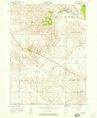
1953 Map of Dixon
USGS Topo · Published 1958About this map
The Wapsipinicon River defines the northern edge of this landscape, where the settlement of Dixon sits at the junction of water and rail. The Chicago Milwaukee St Paul and Pacific railroad cuts through the terrain, passing near New Dixon and linking the rural townships of Liberty and Allens Grove. This mid-century survey reveals a highly organized agricultural district in Scott County, characterized by a dense network of one-room schoolhouses like Dreyer School and School No 7.
Find a feature on this map
23 named features on this map. Tap any name to fly to it.
Don’t see what you’re looking for? This feature index may not catch every label — zoom into the map to look around manually.
Map Details
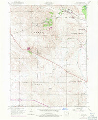
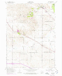
Editions of this 1953 Dixon Map
3 editions found
Other maps of this area

1890 · Durant
USGS Topo · 1:62,500

1891 · DeWitt
USGS Topo · 1:62,500

1891 · Davenport
USGS Topo · 1:62,500

1892 · Wheatland
USGS Topo · 1:62,500

1894 · Wheatland
USGS Topo · 1:62,500

1894 · Durant
USGS Topo · 1:62,500

1894 · Davenport
USGS Topo · 1:62,500

1901 · Rock Island
USGS Topo · 1:125,000

1910 · Rock Island
USGS Topo · 1:125,000
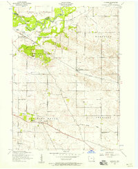
1953 · Donahue
USGS Topo · 1:24,000