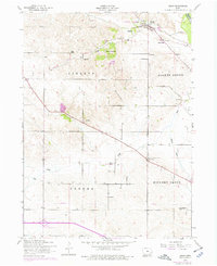
1953 Map of Dixon
USGS Topo · Published 1977About this map
The Wapsipinicon River winds through the northeast corner of this eastern Iowa landscape, defining the border between Clinton and Scott Counties. The rural character of the mid-20th century is deeply etched into the topography, with early settlements like Dixon and New Dixon serving as local hubs. The area is divided into historical townships including Liberty, Allens Grove, Cleona, and Hickory Grove, each dotted with a dense network of country schools and family-named landmarks.
Find a feature on this map
28 named features on this map. Tap any name to fly to it.
Don’t see what you’re looking for? This feature index may not catch every label — zoom into the map to look around manually.
Map Details
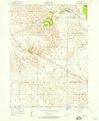
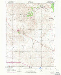
Editions of this 1953 Dixon Map
3 editions found
Other maps of this area

1890 · Durant
USGS Topo · 1:62,500

1891 · DeWitt
USGS Topo · 1:62,500

1891 · Davenport
USGS Topo · 1:62,500

1892 · Wheatland
USGS Topo · 1:62,500

1894 · Wheatland
USGS Topo · 1:62,500

1894 · Durant
USGS Topo · 1:62,500

1894 · Davenport
USGS Topo · 1:62,500

1901 · Rock Island
USGS Topo · 1:125,000

1910 · Rock Island
USGS Topo · 1:125,000
1953 · Donahue
USGS Topo · 1:24,000