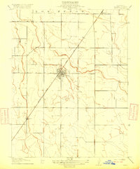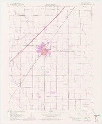
1952 Map of Dixon
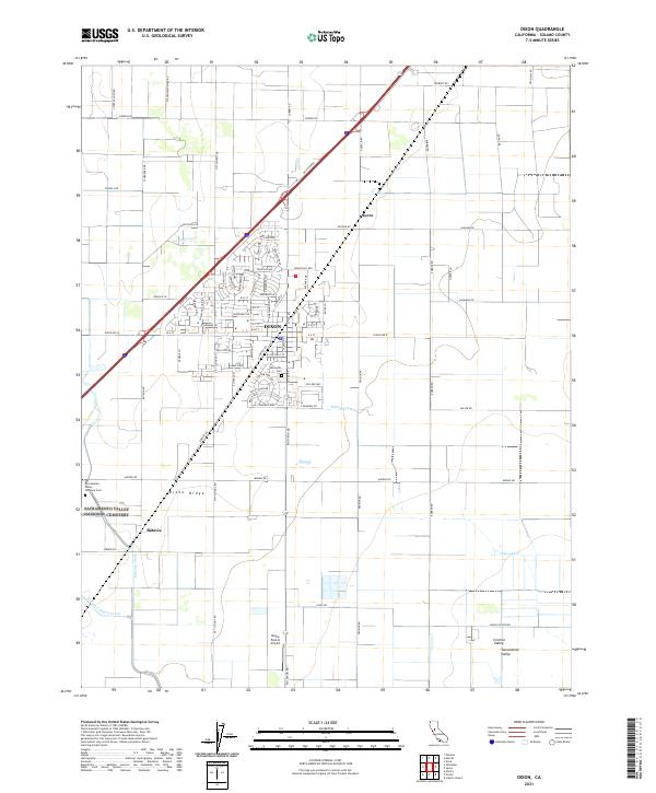
USGS Topo · Published 1977About this map
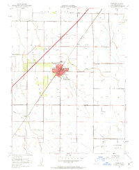
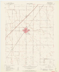
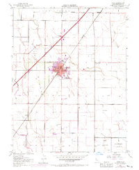
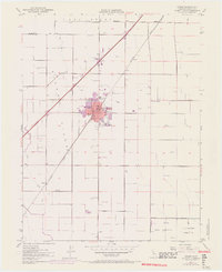
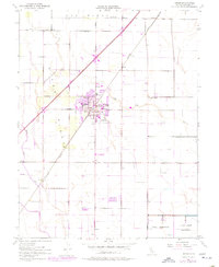
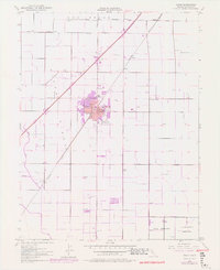
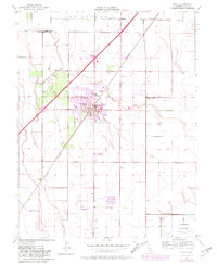
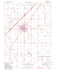
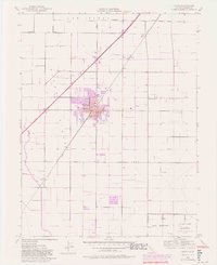
Dixon Ridge dominates the landscape of this Solano County agricultural hub, where the town of Dixon centers on the intersection of the Southern Pacific railroad and regional roadways. The map illustrates a community shaped by its schools and civic spaces, featuring institutions like West Dixon Sch, East Dixon Sch, and the County Fairgrounds. Revisions from 1968 and 1975, noted in purple, track the suburban expansion of the town core, while the surrounding plains remain defined by large land grants like the Los Putos Boundary. To the south, a significant U S Government Naval Reservation with its associated Radio Station and towers reflects the era's military footprint. Scattered windmills and reservoirs across the plains near Sucro and Batavia indicate the intensive irrigation required for the local farming economy during the mid-20th century.
Find a feature on this map
26 named features on this map. Tap any name to fly to it.
Don’t see what you’re looking for? This feature index may not catch every label — zoom into the map to look around manually.
Map Details
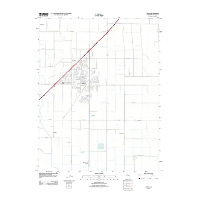
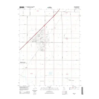
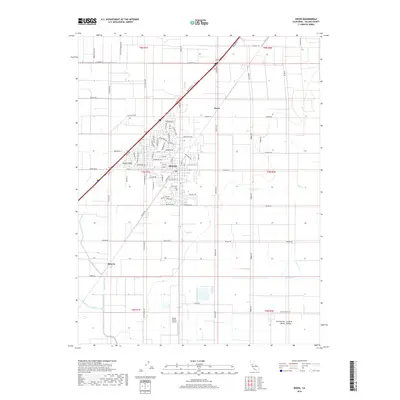
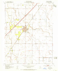
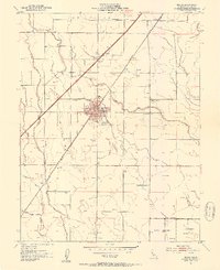
Editions of this 1952 Dixon Map
12 editions found
1953 edition
22 x 26.9 inches
1953 edition
21.97 x 26.95 inches
1963 edition
22 x 26.9 inches
1963 edition
22.3 x 27.2 inches
1970 edition
22 x 27 inches
1970 edition
22.4 x 27.5 inches
1977 edition
22 x 26.8 inches
1977 edition
22.2 x 27.2 inches
1977 edition
22.4 x 27.3 inches
1981 edition
22 x 26.8 inches
1981 edition
22 x 27 inches
1981 edition
22.2 x 27.1 inches
Historical Maps of Dixon Through Time
6 maps found