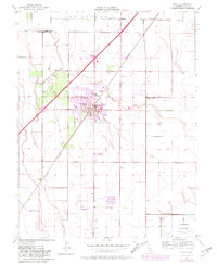
1952 Map of Dixon
USGS Topo · Published 1981About this map
Dixon sits at the heart of this agricultural and transit corridor in the early 1950s, defined by its position on the Southern Pacific railroad and the emerging highway system. The map documents a period of civic expansion, highlighting local education through West Dixon Sch, East Dixon Sch, and the High Sch. Surrounding the town center, the County Fairgrounds and City Park serve as focal points for the community.
Find a feature on this map
28 named features on this map. Tap any name to fly to it.
Don’t see what you’re looking for? This feature index may not catch every label — zoom into the map to look around manually.
Map Details
Editions of this 1952 Dixon Map
12 editions found
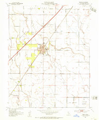
1953 edition
22 x 26.9 inches
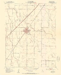
1953 edition
21.97 x 26.95 inches
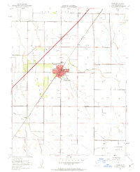
1963 edition
22 x 26.9 inches
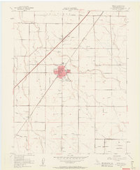
1963 edition
22.3 x 27.2 inches
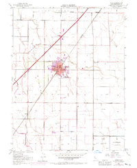
1970 edition
22 x 27 inches
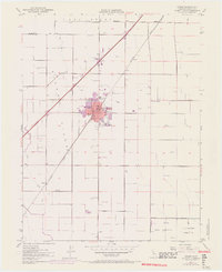
1970 edition
22.4 x 27.5 inches
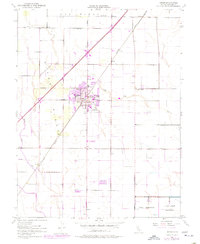
1977 edition
22 x 26.8 inches
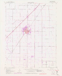
1977 edition
22.2 x 27.2 inches
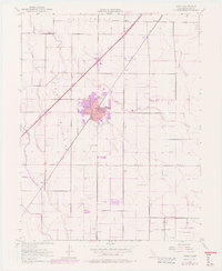
1977 edition
22.4 x 27.3 inches
1981 edition
22 x 26.8 inches
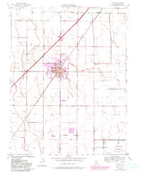
1981 edition
22 x 27 inches
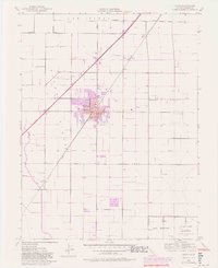
1981 edition
22.2 x 27.1 inches
Other maps of this area

1907 · Woodland
USGS Topo · 1:62,500

1907 · Davisville
USGS Topo · 1:62,500

1908 · Vacaville
USGS Topo · 1:62,500

1908 · Courtland
USGS Topo · 1:62,500

1915 · Swingle
USGS Topo · 1:31,680

1915 · Merritt
USGS Topo · 1:31,680

1916 · Dixon
USGS Topo · 1:31,680

1916 · Cache Slough
USGS Topo · 1:31,680

1916 · Winters
USGS Topo · 1:31,680

1916 · Maine Prairie
USGS Topo · 1:31,680