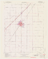
1952 Map of Dixon
USGS Topo · Published 1970About this map
Dixon Ridge dominates the terrain of this northern California landscape, centered on the growing rail and agricultural hub of Dixon. The 1968 photorevisions, indicated in purple, reveal the town's expansion beyond its historic core, particularly toward the County Fairgrounds. The transportation network is defined by the diagonal corridor of the Southern Pacific railroad and the modern route of Highway 80, which connects the cluster of schools like High Sch and West Dixon Sch to the surrounding rural landscape. To the northeast, the Los Putos Grant Boundary reflects the region's early land tenure history. The map also documents the presence of the U S Government Naval Reservation in the southeast, while smaller rail sidings and settlements like Batavia and Sucro anchor the outlying agricultural areas along Sweeny Creek and Dudley Creek.
Find a feature on this map
27 named features on this map. Tap any name to fly to it.
Don’t see what you’re looking for? This feature index may not catch every label — zoom into the map to look around manually.
Map Details
Editions of this 1952 Dixon Map
12 editions found
1953 edition
22 x 26.9 inches
1953 edition
21.97 x 26.95 inches
1963 edition
22 x 26.9 inches
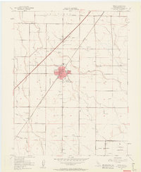
1963 edition
22.3 x 27.2 inches
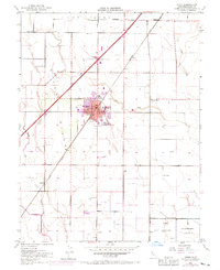
1970 edition
22 x 27 inches
1970 edition
22.4 x 27.5 inches
1977 edition
22 x 26.8 inches
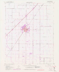
1977 edition
22.2 x 27.2 inches
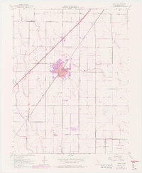
1977 edition
22.4 x 27.3 inches
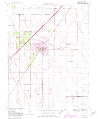
1981 edition
22 x 26.8 inches
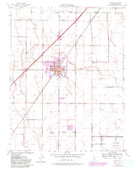
1981 edition
22 x 27 inches
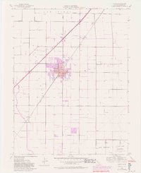
1981 edition
22.2 x 27.1 inches
Other maps of this area

1907 · Woodland
USGS Topo · 1:62,500

1907 · Davisville
USGS Topo · 1:62,500

1908 · Vacaville
USGS Topo · 1:62,500

1908 · Courtland
USGS Topo · 1:62,500

1915 · Swingle
USGS Topo · 1:31,680

1915 · Merritt
USGS Topo · 1:31,680

1916 · Dixon
USGS Topo · 1:31,680

1916 · Cache Slough
USGS Topo · 1:31,680

1916 · Winters
USGS Topo · 1:31,680

1916 · Maine Prairie
USGS Topo · 1:31,680