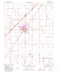
1952 Map of Dixon
USGS Topo · Published 1981About this map
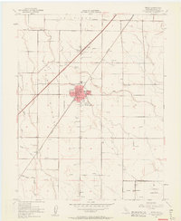
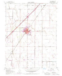
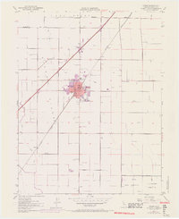
Dixon Ridge dominates the landscape of this agricultural region in Solano County, where the city of Dixon serves as the primary hub along the Southern Pacific railroad line. The map captures a mid-century period of transition, with traditional land uses like the Los Putos Grant Boundary and numerous Windmills coexisting with modern developments like Interstate 80. Education is well-represented through a network of local schools including West Dixon Sch, Jacobs Sch, and the Tremont School.
Find a feature on this map
29 named features on this map. Tap any name to fly to it.
Don’t see what you’re looking for? This feature index may not catch every label — zoom into the map to look around manually.
Map Details
Editions of this 1952 Dixon Map
12 editions found
1953 edition
22 x 26.9 inches
1953 edition
21.97 x 26.95 inches
1963 edition
22 x 26.9 inches
1963 edition
22.3 x 27.2 inches
1970 edition
22 x 27 inches
1970 edition
22.4 x 27.5 inches
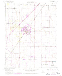
1977 edition
22 x 26.8 inches
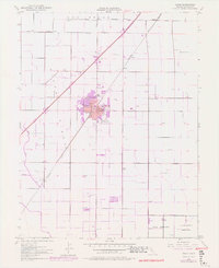
1977 edition
22.2 x 27.2 inches
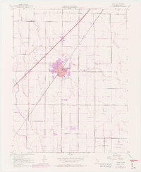
1977 edition
22.4 x 27.3 inches
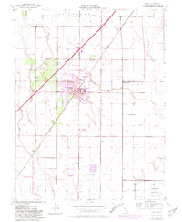
1981 edition
22 x 26.8 inches
1981 edition
22 x 27 inches
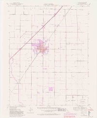
1981 edition
22.2 x 27.1 inches
Other maps of this area

1907 · Woodland
USGS Topo · 1:62,500

1907 · Davisville
USGS Topo · 1:62,500

1908 · Vacaville
USGS Topo · 1:62,500

1908 · Courtland
USGS Topo · 1:62,500

1915 · Swingle
USGS Topo · 1:31,680

1915 · Merritt
USGS Topo · 1:31,680

1916 · Dixon
USGS Topo · 1:31,680

1916 · Cache Slough
USGS Topo · 1:31,680

1916 · Winters
USGS Topo · 1:31,680

1916 · Maine Prairie
USGS Topo · 1:31,680