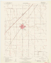
1952 Map of Dixon
USGS Topo · Published 1963About this map
Agricultural development and early Cold War-era federal land use characterize this Solano County landscape. The town of Dixon serves as the central hub, situated along the Southern Pacific railroad and bisected by Dixon Ridge. To the northeast, the historic Los Putos Grant Boundary marks the legacy of California’s ranching era, while smaller settlements like Tremont and Batavia follow the rail corridor. Local educational and social life is anchored by the High Sch and the County Fairgrounds on the town's edge.
Find a feature on this map
22 named features on this map. Tap any name to fly to it.
Don’t see what you’re looking for? This feature index may not catch every label — zoom into the map to look around manually.
Map Details
Editions of this 1952 Dixon Map
12 editions found
1953 edition
22 x 26.9 inches
1953 edition
21.97 x 26.95 inches
1963 edition
22 x 26.9 inches
1963 edition
22.3 x 27.2 inches
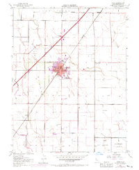
1970 edition
22 x 27 inches
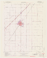
1970 edition
22.4 x 27.5 inches
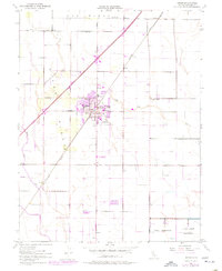
1977 edition
22 x 26.8 inches
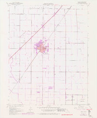
1977 edition
22.2 x 27.2 inches
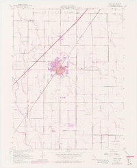
1977 edition
22.4 x 27.3 inches
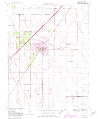
1981 edition
22 x 26.8 inches
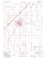
1981 edition
22 x 27 inches
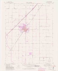
1981 edition
22.2 x 27.1 inches
Other maps of this area

1907 · Woodland
USGS Topo · 1:62,500

1907 · Davisville
USGS Topo · 1:62,500

1908 · Vacaville
USGS Topo · 1:62,500

1908 · Courtland
USGS Topo · 1:62,500

1915 · Swingle
USGS Topo · 1:31,680

1915 · Merritt
USGS Topo · 1:31,680

1916 · Dixon
USGS Topo · 1:31,680

1916 · Cache Slough
USGS Topo · 1:31,680

1916 · Winters
USGS Topo · 1:31,680

1916 · Maine Prairie
USGS Topo · 1:31,680