
1952 Map of Doddridge NE
USGS Topo · Published 1953About this map
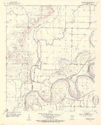
The Red River dominates this southwestern Arkansas landscape, winding through a complex series of oxbows and cutoffs along the border of Miller and Lafayette counties. The mid-century topography reveals a river-driven economy and settlement pattern, where small hubs like Valley Gin and Haley stand near the fertile lowlands of Hunters Island and Dixon Bend. This environment is shaped by significant water management efforts, evidenced by the extensive Old Channel and a strategic Floodgate that controlled the flow from McKinney Bayou.
Find a feature on this map
30 named features on this map. Tap any name to fly to it.
Don’t see what you’re looking for? This feature index may not catch every label — zoom into the map to look around manually.
Map Details
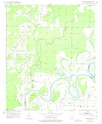
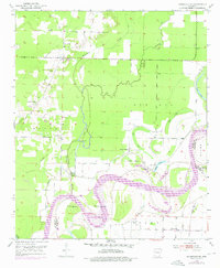
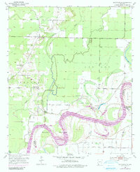
Editions of this 1952 Doddridge NE Map
5 editions found
Other maps of this area

1952 · Doddridge SE
USGS Topo · 1:24,000

1952 · Bradley
USGS Topo · 1:24,000

1952 · Garland
USGS Topo · 1:24,000

1952 · Doddridge NW
USGS Topo · 1:24,000

1952 · Doddridge
USGS Topo · 1:24,000

1952 · Fouke SE
USGS Topo · 1:24,000

1952 · Fouke
USGS Topo · 1:24,000

1952 · Canfield
USGS Topo · 1:24,000

1953 · El Dorado
USGS Topo · 1:250,000

1957 · El Dorado
USGS Topo · 1:250,000