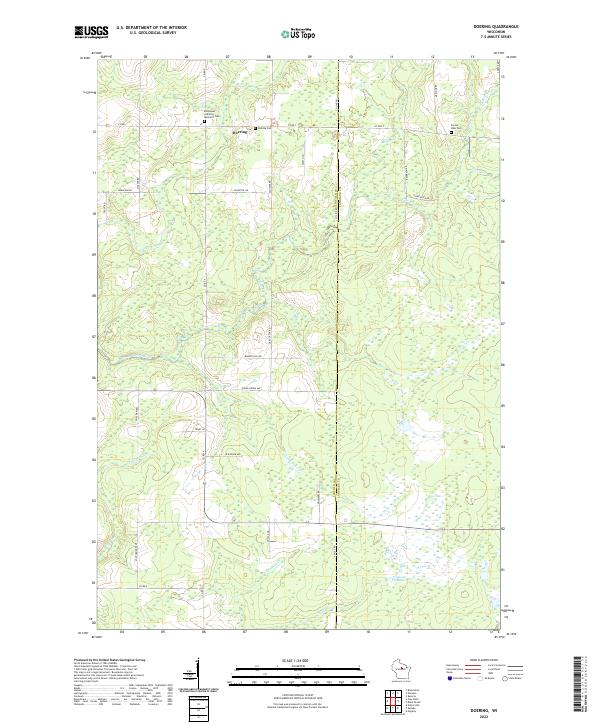
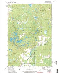
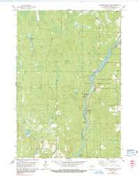
2022 Map of Doering
USGS Topo · Published 2022About this map
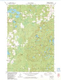
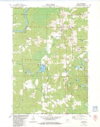
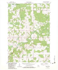
Doering serves as the central focal point of this northern Wisconsin landscape, where the Lincoln Co Langlade Co boundary divides the terrain. The area is defined by its complex hydrography, featuring the winding N Br Pine River and numerous tributaries like Oxbo Creek and Pot Smith Cr. These waterways are punctuated by the Gleason Flowage 2, reflecting a region managed for water resources and local recreation.
Find a feature on this map
48 named features on this map. Tap any name to fly to it.
Don’t see what you’re looking for? This feature index may not catch every label — zoom into the map to look around manually.
Map Details
Editions of this 2022 Doering Map
This is the sole edition of this map. No revisions or reprints were ever made.
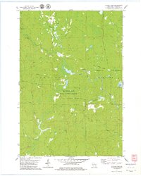
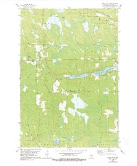
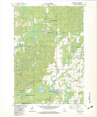
Historical Maps of Ackley Through Time
29 maps found
1950 Spirit Falls
Lincoln County, WI

1951 Hamburg
Lincoln County, WI

1952 Spirit Falls
Lincoln County, WI
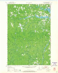
1973 Doering
Lincoln County, WI
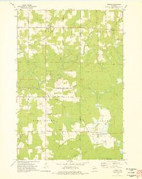
1973 Gleason
Lincoln County, WI
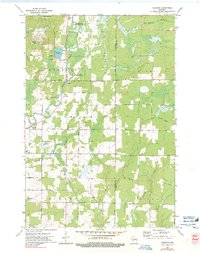
1973 Parrish
Lincoln County, WI
1978 Alexander Lake
Lincoln County, WI
1978 Coffee Creek
Lincoln County, WI
1978 Fromm Lookout Tower
Lincoln County, WI
1978 Grandfather Falls
Lincoln County, WI
1978 Natzke Camp
Lincoln County, WI
1978 Spirit Falls
Lincoln County, WI
1982 Bloomville
Lincoln County, WI
1982 Harrison
Lincoln County, WI
1982 Irma
Lincoln County, WI
1982 Pine Dells
Lincoln County, WI
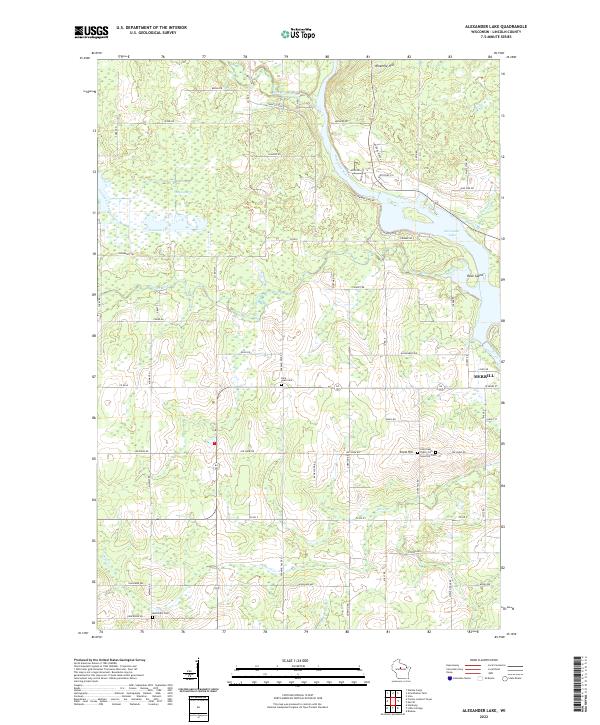
2022 Alexander Lake
Lincoln County, WI
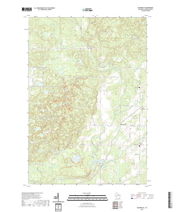
2022 Bloomville
Lincoln County, WI
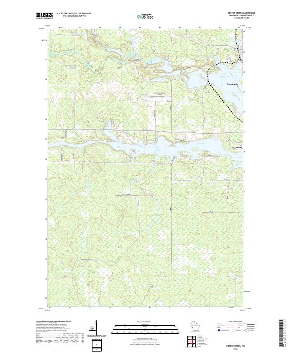
2022 Coffee Creek
Lincoln County, WI
2022 Doering
Lincoln County, WI
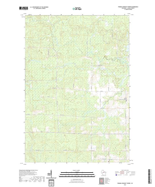
2022 Fromm Lookout Tower
Lincoln County, WI
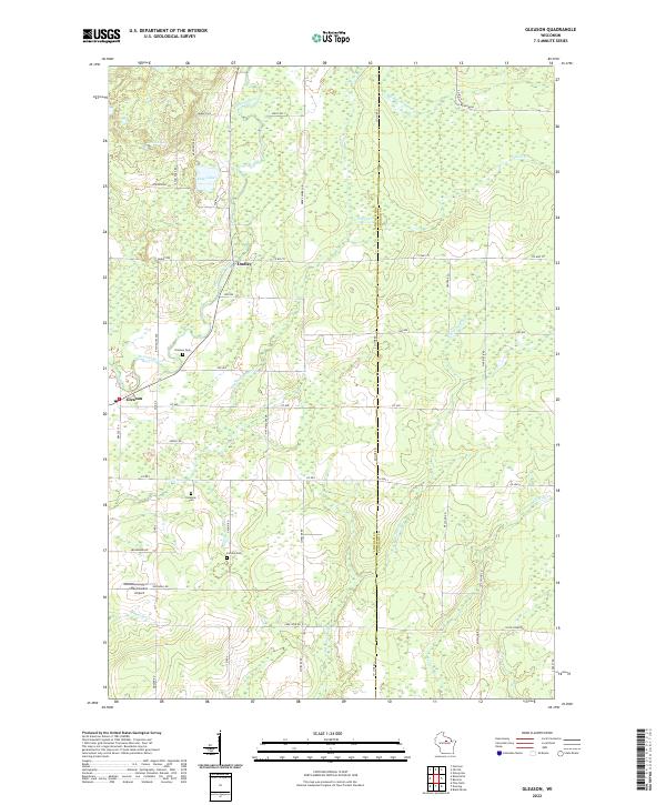
2022 Gleason
Lincoln County, WI
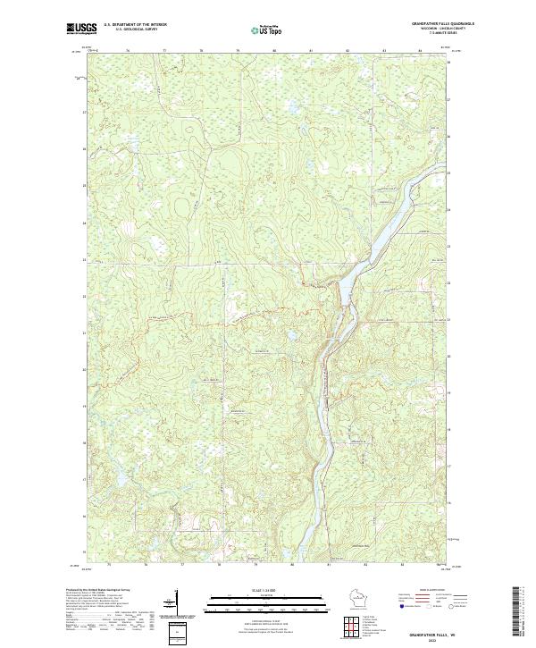
2022 Grandfather Falls
Lincoln County, WI
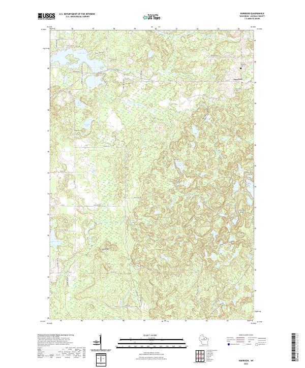
2022 Harrison
Lincoln County, WI
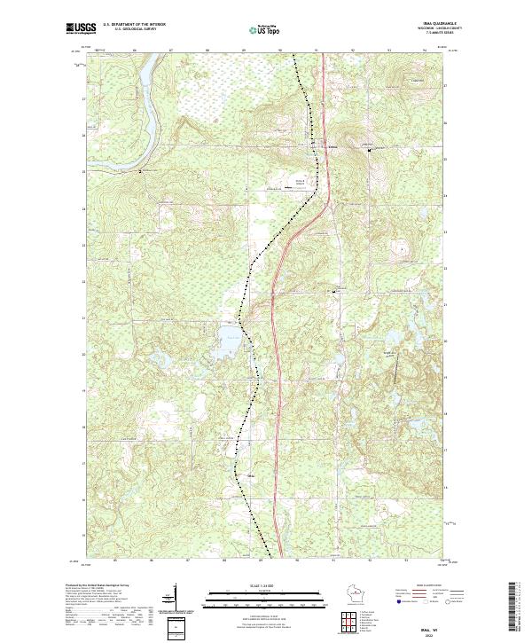
2022 Irma
Lincoln County, WI
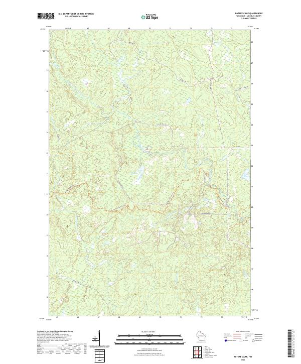
2022 Natzke Camp
Lincoln County, WI
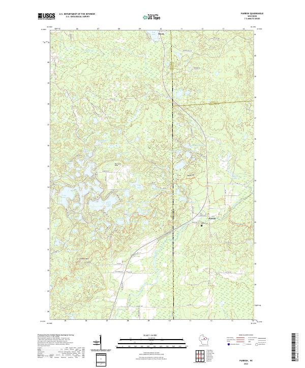
2022 Parrish
Lincoln County, WI
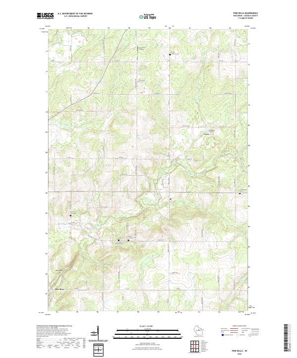
2022 Pine Dells
Lincoln County, WI
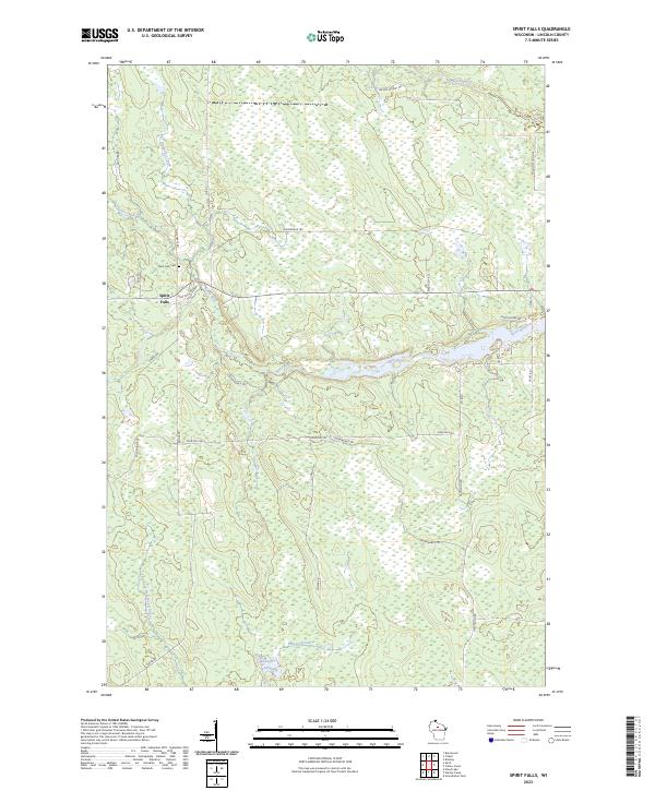
2023 Spirit Falls
Lincoln County, WI