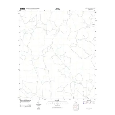
2012 Map of Dog Creek
USGS Topo · Published 2012About this map
Funk Oil Field marks the southeastern corner of this West Texas terrain, where the industrial presence of the energy sector meets a complex network of seasonal drainage. The landscape is defined by the branching tributaries of Dog Cr and Live Oak Cr, which weave through the arid geography of Tom Green County. While the terrain is dominated by these intermittent waterways, including Dry Rocky Cr and W Rocky Cr, the human footprint is maintained through a sparse grid of rural passages such as Hall Ln, W Turner Rd, and Bates Rd. This 2012 survey illustrates the modern ranching and resource-extraction infrastructure of the region, showing how localized roads connect remote operations to the wider county network.
Find a feature on this map
11 named features on this map. Tap any name to fly to it.
Don’t see what you’re looking for? This feature index may not catch every label — zoom into the map to look around manually.
Map Details
Editions of this 2012 Dog Creek Map
This is the sole edition of this map. No revisions or reprints were ever made.
Other maps of this area

1895 · Sherwood
USGS Topo · 1:125,000

1928 · Tankersly
USGS Topo · 1:62,500

1954 · San Angelo
USGS Topo · 1:250,000

1957 · Carlsbad
USGS Topo · 1:62,500

1957 · Knickerbocker
USGS Topo · 1:62,500

1958 · San Angelo
USGS Topo · 1:250,000

1965 · San Angelo
USGS Topo · 1:250,000

1972 · Arden
USGS Topo · 1:24,000

1972 · Dog Creek NE
USGS Topo · 1:24,000

1972 · Wallace Draw
USGS Topo · 1:24,000