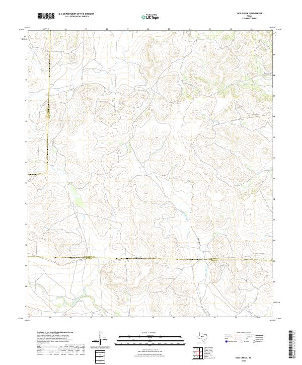
2022 Map of Dog Creek
USGS Topo · Published 2022About this map
Dry Rocky Creek and its many winding tributaries define this stretch of West Texas, where the topography transitions across the borders of Sterling, Tom Green, and Irion counties. The landscape is marked by a network of intermittent waterways, including Dry Creek in the northwest and West Rocky Creek in the south, reflecting the arid character of the Edwards Plateau.
Find a feature on this map
12 named features on this map. Tap any name to fly to it.
Don’t see what you’re looking for? This feature index may not catch every label — zoom into the map to look around manually.
Map Details
Editions of this 2022 Dog Creek Map
This is the sole edition of this map. No revisions or reprints were ever made.
Other maps of this area

1895 · Sherwood
USGS Topo · 1:125,000

1928 · Tankersly
USGS Topo · 1:62,500

1954 · San Angelo
USGS Topo · 1:250,000

1957 · Carlsbad
USGS Topo · 1:62,500

1957 · Knickerbocker
USGS Topo · 1:62,500

1958 · San Angelo
USGS Topo · 1:250,000

1965 · San Angelo
USGS Topo · 1:250,000

1972 · Arden
USGS Topo · 1:24,000

1972 · Dog Creek NE
USGS Topo · 1:24,000

1972 · Wallace Draw
USGS Topo · 1:24,000