1981 Map of Dog Valley
USGS Topo · Published 1981About this map
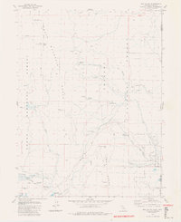
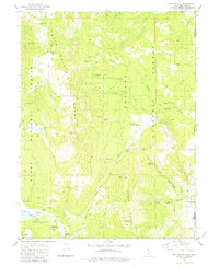
Henness Pass Road traverses this high-country landscape along the border of California and Nevada, marking a route with deep roots in the region's trans-Sierran transportation history. The terrain is defined by the high elevations of the Bald Mountain Range and the Verdi Range, where peaks like Babbitt Peak and Crystal Peak overlook a series of alpine valleys including Jones Valley and Merril Valley. The 1980s landscape shows a transition toward recreational and forestry use, evidenced by the numerous campsites like Males Station Campground and Davies Creek Campground, as well as the Dog Valley Forest Service Station. In the southwest corner, the map captures the northern reach of the Stampede Reservoir, where Davies Creek and other small tributaries descend from the surrounding ridges to the basin floor.
Find a feature on this map
35 named features on this map. Tap any name to fly to it.
Don’t see what you’re looking for? This feature index may not catch every label — zoom into the map to look around manually.
Map Details
Editions of this 1981 Dog Valley Map
3 editions found

Other maps of this area

1890 · Sierraville
USGS Topo · 1:125,000

1891 · Carson
USGS Topo · 1:125,000

1891 · Truckee
USGS Topo · 1:125,000

1891 · Reno
USGS Topo · 1:125,000

1892 · Sierraville
USGS Topo · 1:125,000

1893 · Carson
USGS Topo · 1:125,000

1893 · Truckee
USGS Topo · 1:125,000

1893 · Reno
USGS Topo · 1:125,000

1894 · Sierraville
USGS Topo · 1:125,000

1895 · Truckee
USGS Topo · 1:125,000