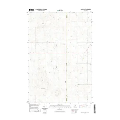
2014 Map of Dogtooth Buttes
USGS Topo · Published 2014About this map
Whiskey Buttes and the Dogtooth Buttes dominate this prairie landscape along the shared border of Grant and Morton counties. The area is defined by its drainage patterns, with the meandering course of Louse Creek flowing across the northern and central sections while Dogtooth Creek emerges to the south. This 2014 survey documents a classic North Dakota section-line road grid, where numeric routes like 42nd Avenue and 67th Street intersect the primary east-west corridor of ND-21. The lack of dense settlement emphasizes the agricultural and topographical character of the Great Plains, capturing a moment when the regional infrastructure remained focused on these geometric township and range divisions.
Find a feature on this map
22 named features on this map. Tap any name to fly to it.
Don’t see what you’re looking for? This feature index may not catch every label — zoom into the map to look around manually.
Map Details
Editions of this 2014 Dogtooth Buttes Map
This is the sole edition of this map. No revisions or reprints were ever made.
Other maps of this area

1954 · Bismarck
USGS Topo · 1:250,000

1958 · Bismarck
USGS Topo · 1:250,000

1980 · Otter Creek West
USGS Topo · 1:24,000

1980 · Brisbane
USGS Topo · 1:24,000

1980 · Otter Creek East
USGS Topo · 1:24,000

1980 · Freda
USGS Topo · 1:24,000

1980 · Lark
USGS Topo · 1:24,000

1980 · Dogtooth Buttes
USGS Topo · 1:24,000

1980 · Raleigh
USGS Topo · 1:24,000

1980 · Nygren Dam
USGS Topo · 1:24,000