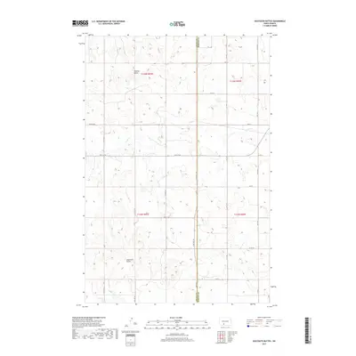
2017 Map of Dogtooth Buttes
USGS Topo · Published 2017About this map
Dogtooth Buttes rise as the defining landmarks of this high-plains landscape along the southern border of Morton County. The terrain is marked by a complex network of ephemeral drainage and creek beds, most notably Louse Cr and Dogtooth Cr, which carve through the elevations near Whiskey Buttes. This 2017 study illustrates the modern section-line road system that organizes the rural agricultural space, including Co Rd 134 and Co Rd 84. The map provides a precise view of the Grant Co Morton Co line, showing how contemporary land use and transportation routes respect the historical Public Land Survey System township and range boundaries established long ago in this part of North Dakota.
Find a feature on this map
20 named features on this map. Tap any name to fly to it.
Don’t see what you’re looking for? This feature index may not catch every label — zoom into the map to look around manually.
Map Details
Editions of this 2017 Dogtooth Buttes Map
This is the sole edition of this map. No revisions or reprints were ever made.
Other maps of this area

1954 · Bismarck
USGS Topo · 1:250,000

1958 · Bismarck
USGS Topo · 1:250,000

1980 · Otter Creek West
USGS Topo · 1:24,000

1980 · Brisbane
USGS Topo · 1:24,000

1980 · Otter Creek East
USGS Topo · 1:24,000

1980 · Freda
USGS Topo · 1:24,000

1980 · Lark
USGS Topo · 1:24,000

1980 · Dogtooth Buttes
USGS Topo · 1:24,000

1980 · Raleigh
USGS Topo · 1:24,000

1980 · Nygren Dam
USGS Topo · 1:24,000