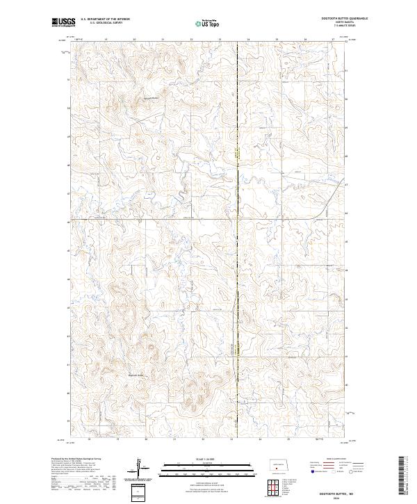
2024 Map of Dogtooth Buttes
USGS Topo · Published 2024About this map
Dogtooth Buttes and Whiskey Buttes dominate this expansive landscape along the border of Grant and Morton counties. The terrain is defined by the winding course of Louse Creek, which cuts through the high plains as it flows generally eastward. This 2024 survey illustrates the enduring rural grid system that organizes the Dakotas, where gravel roads and section lines dictate the movement of local residents and agricultural machinery.
Find a feature on this map
19 named features on this map. Tap any name to fly to it.
Don’t see what you’re looking for? This feature index may not catch every label — zoom into the map to look around manually.
Map Details
Editions of this 2024 Dogtooth Buttes Map
This is the sole edition of this map. No revisions or reprints were ever made.
Other maps of this area

1954 · Bismarck
USGS Topo · 1:250,000

1958 · Bismarck
USGS Topo · 1:250,000

1980 · Otter Creek West
USGS Topo · 1:24,000

1980 · Brisbane
USGS Topo · 1:24,000

1980 · Otter Creek East
USGS Topo · 1:24,000

1980 · Freda
USGS Topo · 1:24,000

1980 · Lark
USGS Topo · 1:24,000

1980 · Dogtooth Buttes
USGS Topo · 1:24,000

1980 · Raleigh
USGS Topo · 1:24,000

1980 · Nygren Dam
USGS Topo · 1:24,000