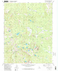
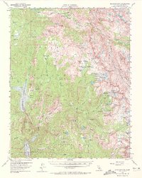
1982 Map of Dogtooth Peak
USGS Topo · Published 1988About this map
Dogtooth Peak and the high-elevation basins of the Sierra National Forest dominate this 1980s landscape, where a network of trails and campsites serves a remote backcountry environment. The map details a transition from industrial activity to recreation, most notably near the Rainbow Mine and its associated Tailings Pond. This mining legacy sits just west of Miningtown Meadow, suggesting the historical presence of extraction even in these high reaches.
Find a feature on this map
63 named features on this map. Tap any name to fly to it.
Don’t see what you’re looking for? This feature index may not catch every label — zoom into the map to look around manually.
Map Details
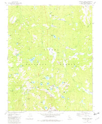
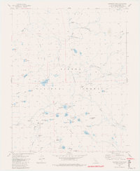
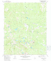
Editions of this 1982 Dogtooth Peak Map
4 editions found
Other maps of this area

1904 · Kaiser
USGS Topo · 1:125,000

1912 · Mt. Goddard
USGS Topo · 1:125,000

1947 · Mariposa
USGS Topo · 1:250,000

1948 · Mariposa
USGS Topo · 1:250,000

1953 · Mt Abbot
USGS Topo · 1:62,500

1953 · Huntington Lake
USGS Topo · 1:62,500

1953 · Blackcap Mtn
USGS Topo · 1:62,500

1953 · Kaiser Peak
USGS Topo · 1:62,500

1957 · Mariposa
USGS Topo · 1:250,000
1962 · Blackcap Mtn
USGS Topo · 1:62,500