
1939 Map of Donaldsonville
USGS Topo · Published 1953About this map
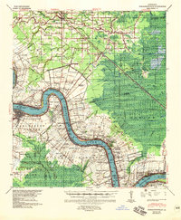
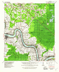
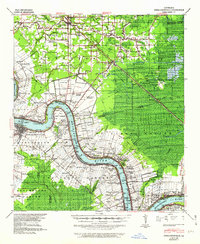
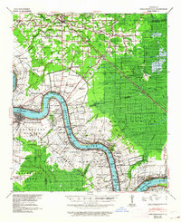
The Mississippi River defines the landscape of this late 1930s survey, its winding course lined with a dense network of river-based commerce and established estates. Large agricultural tracts such as Monroe Plantation, Conway Plantation, and Orange Grove Plantation dominate the riverbanks, reflecting a period when the plantation economy still shaped the physical layout of the region. The city of Donaldsonville serves as the hub at the river's bend, where multiple rail lines, including the Texas and Pacific and the Yazoo and Mississippi Valley, converge to support the movement of goods.
Find a feature on this map
105 named features on this map. Tap any name to fly to it.
Don’t see what you’re looking for? This feature index may not catch every label — zoom into the map to look around manually.
Map Details
Editions of this 1939 Donaldsonville Map
5 editions found
Other maps of this area

1892 · Lac Des Allemands
USGS Topo · 1:62,500

1892 · Mount Airy
USGS Topo · 1:62,500

1892 · Donaldsonville
USGS Topo · 1:62,500

1892 · Thibodaux
USGS Topo · 1:62,500

1908 · Baton Rouge
USGS Topo · 1:62,500

1927 · Thibodaux NW
USGS Topo · 1:31,680

1932 · Lac Des Allemands NW
USGS Topo · 1:31,680

1932 · Thibodaux NE
USGS Topo · 1:31,680

1934 · Denham Springs
USGS Topo · 1:62,500

1934 · Springfield
USGS Topo · 1:62,500