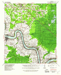
1939 Map of Donaldsonville
USGS Topo · Published 1960About this map
The Mississippi River winds through the heart of the River Parishes in this late 1930s survey, documenting a landscape where the plantation economy and emerging industrialization coexist. The map details numerous named tracts such as Riverton Plantation and Conway Plantation, alongside the industrial presence of the Salsburg Refinery and the development of the Darrow Oil Field. Settlement patterns follow the river and the older bayous, including Bayou Manchac and Bayou Francois, while the newer Airline Highway and railroads like the Illinois Central signal a shift toward modern transportation. For genealogists, the map is remarkably specific, locating social and religious anchors such as St Landry Ch & Cem, Little Zion Sch Ch & Cem, and several rural schools. The intricate network of drainage canals and levees illustrates the ongoing engineering efforts managed by the Mississippi River Commission during this era.
Find a feature on this map
132 named features on this map. Tap any name to fly to it.
Don’t see what you’re looking for? This feature index may not catch every label — zoom into the map to look around manually.
Map Details
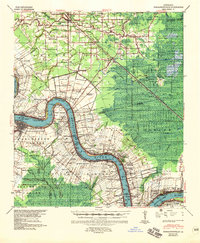
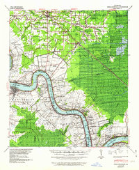
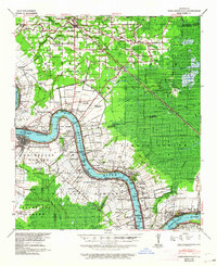
Editions of this 1939 Donaldsonville Map
5 editions found

Other maps of this area

1892 · Lac Des Allemands
USGS Topo · 1:62,500

1892 · Mount Airy
USGS Topo · 1:62,500

1892 · Donaldsonville
USGS Topo · 1:62,500

1892 · Thibodaux
USGS Topo · 1:62,500

1908 · Baton Rouge
USGS Topo · 1:62,500

1927 · Thibodaux NW
USGS Topo · 1:31,680

1932 · Lac Des Allemands NW
USGS Topo · 1:31,680

1932 · Thibodaux NE
USGS Topo · 1:31,680

1934 · Denham Springs
USGS Topo · 1:62,500

1934 · Springfield
USGS Topo · 1:62,500