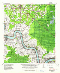
1939 Map of Donaldsonville
USGS Topo · Published 1962About this map
The Mississippi River winds through the heart of this landscape, its banks defined by numerous historic landholdings such as Riverton Plantation and Donaldson Plantation. In the late 1930s, the region was a bustling intersection of river-borne trade, burgeoning energy production at the Darrow Oil Field and Sorrento Oil Field, and a dense network of rail lines including the Illinois Central and the Texas and Pacific Railway.
Find a feature on this map
118 named features on this map. Tap any name to fly to it.
Don’t see what you’re looking for? This feature index may not catch every label — zoom into the map to look around manually.
Map Details
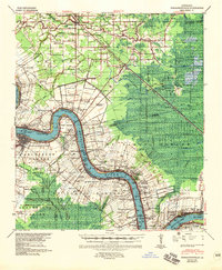
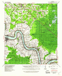
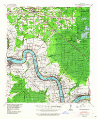
Editions of this 1939 Donaldsonville Map
5 editions found

Other maps of this area

1892 · Lac Des Allemands
USGS Topo · 1:62,500

1892 · Mount Airy
USGS Topo · 1:62,500

1892 · Donaldsonville
USGS Topo · 1:62,500

1892 · Thibodaux
USGS Topo · 1:62,500

1908 · Baton Rouge
USGS Topo · 1:62,500

1927 · Thibodaux NW
USGS Topo · 1:31,680

1932 · Lac Des Allemands NW
USGS Topo · 1:31,680

1932 · Thibodaux NE
USGS Topo · 1:31,680

1934 · Denham Springs
USGS Topo · 1:62,500

1934 · Springfield
USGS Topo · 1:62,500