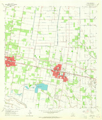
1963 Map of Donna
USGS Topo · Published 1965About this map
Agricultural development and the irrigation infrastructure of the Rio Grande Valley characterize this 1963 survey. The city of Donna serves as a central hub, flanked by Alamo to the west and Weslaco to the east. The landscape is defined by a grid of citrus groves and fields managed by the Main Canal and the extensive Donna Reservoirs. Transportation and industry follow the Missouri Pacific railroad line, which connects the primary settlements. To the south, the Main Floodway and La Cruz Resaca indicate the hydrologic management required for this fertile region. Beyond the town centers, localized settlements like Val Verde and Scissors appear alongside essential community landmarks such as Mt Zion Ch and the St Joseph Cem. The presence of the Alamo Gas Field and Edinburg East Gas Field further illustrates the diversification of the local economy during the early 1960s.
Find a feature on this map
34 named features on this map. Tap any name to fly to it.
Don’t see what you’re looking for? This feature index may not catch every label — zoom into the map to look around manually.
Map Details
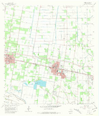
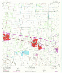
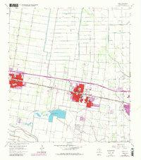
Editions of this 1963 Donna Map
4 editions found
Other maps of this area

1914 · San Juan
USGS Topo · 1:48,000

1916 · San Juan
USGS Topo · 1:62,500

1949 · Mc Allen
USGS Topo · 1:250,000

1953 · Brownsville
USGS Topo · 1:250,000

1954 · McAllen
USGS Topo · 1:250,000

1956 · Mercedes
USGS Topo · 1:24,000
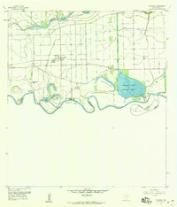
1956 · Progreso
USGS Topo · 1:24,000

1956 · Brownsville
USGS Topo · 1:250,000

1956 · Port Isabel
USGS Topo · 1:250,000
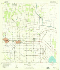
1957 · Edcouch
USGS Topo · 1:24,000