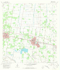
1963 Map of Donna
USGS Topo · Published 1981About this map
The agricultural landscape of Hidalgo County during the early 1960s centers on the Donna and Alamo communities, where irrigation and energy extraction define the local economy. The southern portion of the sheet is dominated by the Donna Reservoirs and the Main Floodway, highlighting the critical role of water management in this Rio Grande Valley region. The Missouri Pacific railroad provides the primary industrial spine, linking several urban centers including Val Verde and the western edge of Weslaco.
Find a feature on this map
31 named features on this map. Tap any name to fly to it.
Don’t see what you’re looking for? This feature index may not catch every label — zoom into the map to look around manually.
Map Details
Editions of this 1963 Donna Map
4 editions found
Other maps of this area

1914 · San Juan
USGS Topo · 1:48,000

1916 · San Juan
USGS Topo · 1:62,500

1949 · Mc Allen
USGS Topo · 1:250,000

1953 · Brownsville
USGS Topo · 1:250,000

1954 · McAllen
USGS Topo · 1:250,000

1956 · Mercedes
USGS Topo · 1:24,000
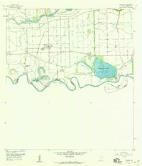
1956 · Progreso
USGS Topo · 1:24,000

1956 · Brownsville
USGS Topo · 1:250,000

1956 · Port Isabel
USGS Topo · 1:250,000
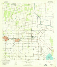
1957 · Edcouch
USGS Topo · 1:24,000