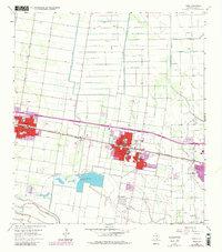
1963 Map of Donna
USGS Topo · Published 1984About this map
Agricultural development and water management define this landscape in the Rio Grande Valley during the early 1960s, with later updates through the 1980s. The Donna Main Canal and the extensive Donna Reservoirs anchor a sophisticated irrigation network that sustained the citrus and vegetable economies of Alamo and Donna. The corridor is unified by the Missouri Pacific railroad, which runs parallel to the main thoroughfare, connecting the community of Val Verde to the larger centers.
Find a feature on this map
42 named features on this map. Tap any name to fly to it.
Don’t see what you’re looking for? This feature index may not catch every label — zoom into the map to look around manually.
Map Details
Editions of this 1963 Donna Map
4 editions found
Other maps of this area

1914 · San Juan
USGS Topo · 1:48,000

1916 · San Juan
USGS Topo · 1:62,500

1949 · Mc Allen
USGS Topo · 1:250,000

1953 · Brownsville
USGS Topo · 1:250,000

1954 · McAllen
USGS Topo · 1:250,000

1956 · Mercedes
USGS Topo · 1:24,000
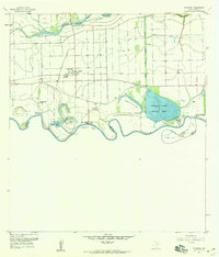
1956 · Progreso
USGS Topo · 1:24,000

1956 · Brownsville
USGS Topo · 1:250,000

1956 · Port Isabel
USGS Topo · 1:250,000
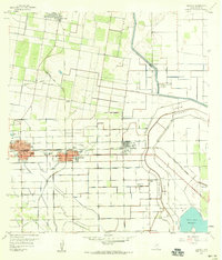
1957 · Edcouch
USGS Topo · 1:24,000