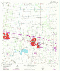
1963 Map of Donna
USGS Topo · Published 1984About this map
Agricultural expansion and petroleum production define this portion of the Rio Grande Valley during the early 1960s. The Missouri Pacific railroad corridor serves as the primary axis for development, connecting the established centers of Alamo, Donna, and Weslaco. These towns are densely detailed with local landmarks, including the Po, Armory, and multiple educational facilities like Fulton Sch and East Donna Sch. Surrounding the urban areas, a complex irrigation network anchored by the Donna Main Canal and Donna Reservoirs supports the valley's citrus and vegetable industry.
Find a feature on this map
47 named features on this map. Tap any name to fly to it.
Don’t see what you’re looking for? This feature index may not catch every label — zoom into the map to look around manually.
Map Details
Editions of this 1963 Donna Map
4 editions found
Other maps of this area

1914 · San Juan
USGS Topo · 1:48,000

1916 · San Juan
USGS Topo · 1:62,500

1949 · Mc Allen
USGS Topo · 1:250,000

1953 · Brownsville
USGS Topo · 1:250,000

1954 · McAllen
USGS Topo · 1:250,000

1956 · Mercedes
USGS Topo · 1:24,000
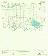
1956 · Progreso
USGS Topo · 1:24,000

1956 · Brownsville
USGS Topo · 1:250,000

1956 · Port Isabel
USGS Topo · 1:250,000
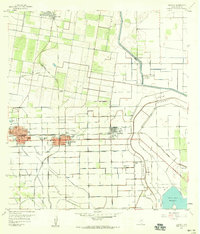
1957 · Edcouch
USGS Topo · 1:24,000