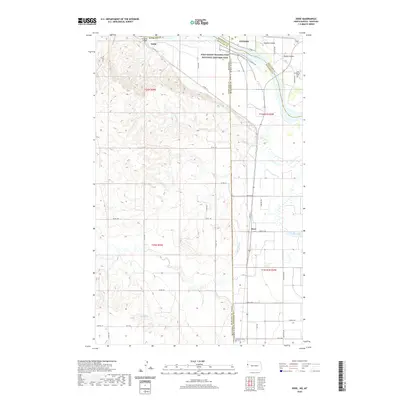
2020 Map of Dore
USGS Topo · Published 2020About this map
Fort Union Trading Post National Historic Site anchors this landscape at the intersection of the Missouri River and the Montana-North Dakota state line. This borderland region is defined by the fertile bottomlands and complex coulees surrounding the river, where early twentieth-century irrigation efforts are visible through the Main Canal. The small settlements of Nohly and Dore serve as local landmarks alongside significant historical footprints like the Snowden Bridge. Genealogists and historians will find interest in the proximity of Fort Buford Cem and Fairview Cem, which speak to the long-standing military and pioneer presence at this strategic river junction. The map detail highlights the intricate drainage systems of Garden Coulee and Figley Coulee as they descend toward the river valley.
Find a feature on this map
40 named features on this map. Tap any name to fly to it.
Don’t see what you’re looking for? This feature index may not catch every label — zoom into the map to look around manually.
Map Details
Editions of this 2020 Dore Map
This is the sole edition of this map. No revisions or reprints were ever made.
Other maps of this area

1909 · Glendive
USGS Topo · 1:250,000

1953 · Williston
USGS Topo · 1:250,000

1953 · Watford City
USGS Topo · 1:250,000

1954 · Glendive
USGS Topo · 1:250,000

1954 · Wolf Point
USGS Topo · 1:250,000

1957 · Glendive
USGS Topo · 1:250,000

1957 · Williston
USGS Topo · 1:250,000

1957 · Watford City
USGS Topo · 1:250,000

1958 · Wolf Point
USGS Topo · 1:250,000

1958 · Glendive
USGS Topo · 1:250,000