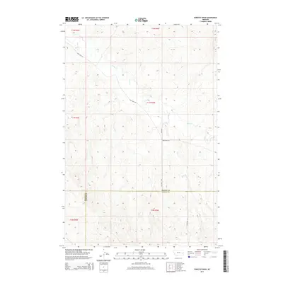
2014 Map of Dorothy Draw
USGS Topo · Published 2014About this map
Cabin Cr flows across this corner of Southeast Montana, cutting through a high-plains landscape defined by its drainage basins and section-line road networks. The 2014 survey documents the boundary where the Prairie Co and Fallon Co line meets several township designations, including t11n r56e and t12n r56e. This rural quadrangle is shaped by watercourses like McNaney Cr and Deer Cr, which historically dictated the placement of ranch access routes. Local connectivity is maintained by several named corridors, most notably Cabin Creek Rd and Plevna Rd, reflecting the sparse but enduring settlement patterns of the region. The map provides a clear look at the topography of the Dorothy Draw area, showing how the land transitions from the Pine Cr drainage into the broader valley of Cabin Creek.
Find a feature on this map
15 named features on this map. Tap any name to fly to it.
Don’t see what you’re looking for? This feature index may not catch every label — zoom into the map to look around manually.
Map Details
Editions of this 2014 Dorothy Draw Map
This is the sole edition of this map. No revisions or reprints were ever made.
Other maps of this area

1953 · Miles City
USGS Topo · 1:250,000

1957 · Miles City
USGS Topo · 1:250,000

1958 · Miles City
USGS Topo · 1:250,000
1981 · Mildred NE
USGS Topo · 1:24,000
1981 · Lawrence Creek West
USGS Topo · 1:24,000
1981 · Ismay North
USGS Topo · 1:24,000
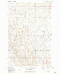
1981 · Dorothy Draw
USGS Topo · 1:24,000
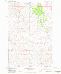
1981 · Ayer Spring NE
USGS Topo · 1:24,000
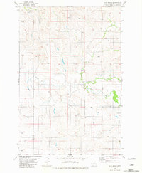
1981 · Ayer Spring
USGS Topo · 1:24,000
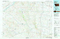
1981 · Wibaux
USGS Topo · 1:100,000