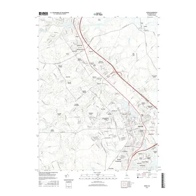
2016 Map of Dover
USGS Topo · Published 2016About this map
The capital city of Dover and its sprawling northern suburbs are detailed in this 2016 survey, showcasing a landscape of education, government, and memory. The area is a hub of higher learning, home to Delaware State Univ, the Wesley Coll campus, and Delaware Technical and Community Coll - Terry. Residential developments like Hickory Dale Acres, Fox Hall, and Bicentennial Village fill the spaces between historic transport corridors like the Korean Veterans Memorial Hwy and the winding Leipsic River.
Find a feature on this map
173 named features on this map. Tap any name to fly to it.
Don’t see what you’re looking for? This feature index may not catch every label — zoom into the map to look around manually.
Map Details
Editions of this 2016 Dover Map
This is the sole edition of this map. No revisions or reprints were ever made.
Other maps of this area

1890 · Bay Side
USGS Topo · 1:62,500

1894 · Bay Side
USGS Topo · 1:62,500

1899 · Vineland
USGS Topo · 1:125,000

1899 · Dover
USGS Topo · 1:125,000

1906 · Dover
USGS Topo · 1:125,000

1919 · Vineland
USGS Topo · 1:125,000

1920 · Dover
USGS Topo · 1:125,000

1926 · Wyoming
USGS Topo · 1:48,000

1930 · Wyoming
USGS Topo · 1:62,500

1931 · Wyoming
USGS Topo · 1:62,500