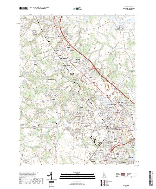
2023 Map of Dover
USGS Topo · Published 2023About this map
Dover, the capital of Delaware, is detailed here along the banks of the Saint Jones River and Silver Lake. This modern-day topographic perspective shows the high density of historical and educational institutions that anchor the city, including Delaware State University, Wilmington University Dover Campus, and Delaware Technical and Community College - Terry Campus. The map reveals a deeply established landscape of remembrance, from the Old Presbyterian Cem and Christ Episcopal Church Cem in the city center to the Amish Cem and Slaughter Family Plot Cem located further west near Cahoon Branch.
Find a feature on this map
104 named features on this map. Tap any name to fly to it.
Don’t see what you’re looking for? This feature index may not catch every label — zoom into the map to look around manually.
Map Details
Editions of this 2023 Dover Map
This is the sole edition of this map. No revisions or reprints were ever made.
Other maps of this area

1890 · Bay Side
USGS Topo · 1:62,500

1894 · Bay Side
USGS Topo · 1:62,500

1899 · Vineland
USGS Topo · 1:125,000

1899 · Dover
USGS Topo · 1:125,000

1906 · Dover
USGS Topo · 1:125,000

1919 · Vineland
USGS Topo · 1:125,000

1920 · Dover
USGS Topo · 1:125,000

1926 · Wyoming
USGS Topo · 1:48,000

1930 · Wyoming
USGS Topo · 1:62,500

1931 · Wyoming
USGS Topo · 1:62,500