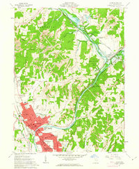
1961 Map of Dover
USGS Topo · Published 1963About this map
The industrial and agricultural corridor of the Tuscarawas River valley is anchored by the growing settlements of Dover and New Philadelphia. This early 1960s landscape shows a significant reliance on the river and rail network, with the Pennsylvania and Baltimore And Ohio railroads servicing local commerce. The northern reaches of the map highlight the Muskingum Watershed Conservancy District, including the engineering of the Dover Dam. Rural life is evidenced by numerous landmarks such as Unity Grange and isolated houses of worship like Bisel Ch. Resource extraction is a visible driver of the local economy, with several Strip Mines and Gravel Pits dotting the terrain between the wooded hills of Lawrence and Fairfield. The presence of the County Fairground and Crater Stadium indicates a well-established community center in the valley.
Find a feature on this map
59 named features on this map. Tap any name to fly to it.
Don’t see what you’re looking for? This feature index may not catch every label — zoom into the map to look around manually.
Map Details
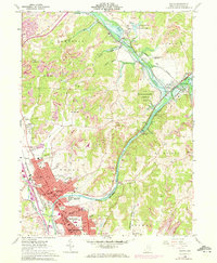
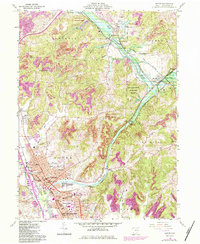
Editions of this 1961 Dover Map
3 editions found
Other maps of this area

1909 · Uhrichsville
USGS Topo · 1:62,500

1911 · Uhrichsville
USGS Topo · 1:62,500

1911 · Newcomerstown
USGS Topo · 1:62,500

1912 · Dover
USGS Topo · 1:62,500

1913 · Newcomerstown
USGS Topo · 1:62,500

1914 · Navarre
USGS Topo · 1:62,500

1943 · Newcomerstown
USGS Topo · 1:62,500

1944 · Navarre
USGS Topo · 1:62,500

1944 · Dover
USGS Topo · 1:62,500

1951 · Canton
USGS Topo · 1:250,000