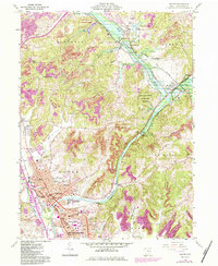
1961 Map of Dover
USGS Topo · Published 1984About this map
The Tuscarawas River winds through this industrial and agricultural landscape, carving a valley that defines the shared corridor between Dover and New Philadelphia. This 1961 edition reveals a transition from heavy industry to recreational management, featuring the Abandoned Canal alongside modern engineering like the Dover Dam. The map documents a dense network of civic life, from the County Fairground and Crater Stadium to numerous local institutions like St Peters Ch and Union Hospital. To the north, the historic village of Zoar and the Zoar Wildlife Area highlight early conservation efforts within the Muskingum Watershed Conservation District. The presence of several Strip Mines and a Claypit points to the region's enduring extraction economy, while the rail lines of the Norfolk and Western and Conrail facilitate the movement of goods through Valley Junction.
Find a feature on this map
69 named features on this map. Tap any name to fly to it.
Don’t see what you’re looking for? This feature index may not catch every label — zoom into the map to look around manually.
Map Details
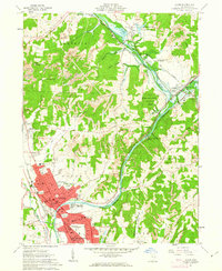
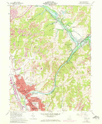
Editions of this 1961 Dover Map
3 editions found
Other maps of this area

1909 · Uhrichsville
USGS Topo · 1:62,500

1911 · Uhrichsville
USGS Topo · 1:62,500

1911 · Newcomerstown
USGS Topo · 1:62,500

1912 · Dover
USGS Topo · 1:62,500

1913 · Newcomerstown
USGS Topo · 1:62,500

1914 · Navarre
USGS Topo · 1:62,500

1943 · Newcomerstown
USGS Topo · 1:62,500

1944 · Navarre
USGS Topo · 1:62,500

1944 · Dover
USGS Topo · 1:62,500

1951 · Canton
USGS Topo · 1:250,000