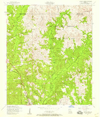
1954 Map of Dowden Creek
USGS Topo · Published 1958About this map
Anacoco serves as a small railroad hub in the southwestern corner of this survey, where a Water Tank stands alongside the Kansas City Southern tracks. The landscape is defined by the heavy footprint of the Fort Polk Military Reservation, which occupies much of the northern and eastern terrain. This military influence is evident in the sprawling Artillery Range and the presence of a Dismantled railroad snaking through the hills of Peason Ridge. Despite the dominant federal presence, the area maintains a network of rural community landmarks. Numerous small country churches, including Pruitts Chapel, Union Grove Church, and Bonnie Chapel, are scattered across the Sabine and Vernon Parish line. The drainage pattern is complex, with West Anacoco Creek and Dowden Creek cutting through the ridges, providing a detailed look at the hydrology of this timber-dense region during the mid-1950s.
Find a feature on this map
26 named features on this map. Tap any name to fly to it.
Don’t see what you’re looking for? This feature index may not catch every label — zoom into the map to look around manually.
Map Details
Editions of this 1954 Dowden Creek Map
4 editions found
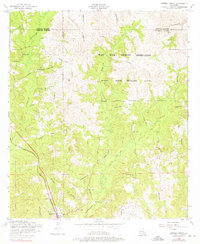
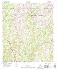
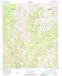
Other maps of this area

1941 · Leesville
USGS Topo · 1:62,500

1941 · Slagle
USGS Topo · 1:62,500

1942 · Florien
USGS Topo · 1:62,500

1942 · Kisatchie
USGS Topo · 1:62,500

1943 · Leesville
USGS Topo · 1:62,500

1943 · Kisatchie
USGS Topo · 1:62,500

1944 · Florien
USGS Topo · 1:62,500

1944 · Slagle
USGS Topo · 1:62,500

1946 · Leesville
USGS Topo · 1:62,500

1948 · Leesville
USGS Topo · 1:62,500