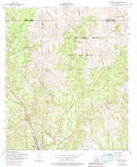
1954 Map of Dowden Creek
USGS Topo · Published 1981About this map
Anacoco sits at the southwestern edge of this 1954 landscape, where the Kansas City Southern railway cuts through the piney woods of Vernon Parish. Much of the central and eastern terrain is dominated by the Fort Polk Military Reservation, including the extensive Peason Ridge Artillery Range. The area is characterized by numerous small drainage branches and creeks, such as West Anacoco Creek and Dowden Creek, which carve through the undulating hills.
Find a feature on this map
28 named features on this map. Tap any name to fly to it.
Don’t see what you’re looking for? This feature index may not catch every label — zoom into the map to look around manually.
Map Details
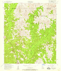
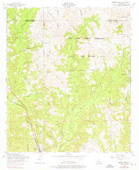
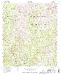
Editions of this 1954 Dowden Creek Map
4 editions found
Other maps of this area

1941 · Leesville
USGS Topo · 1:62,500

1941 · Slagle
USGS Topo · 1:62,500

1942 · Florien
USGS Topo · 1:62,500

1942 · Kisatchie
USGS Topo · 1:62,500

1943 · Leesville
USGS Topo · 1:62,500

1943 · Kisatchie
USGS Topo · 1:62,500

1944 · Florien
USGS Topo · 1:62,500

1944 · Slagle
USGS Topo · 1:62,500

1946 · Leesville
USGS Topo · 1:62,500

1948 · Leesville
USGS Topo · 1:62,500