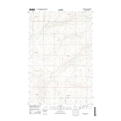
2013 Map of Draper Lake
USGS Topo · Published 2013About this map
Canniwai Cr cuts through this high-elevation plateau on the Washington-Lincoln Co. line, defining a landscape where water and agriculture dictate the layout of the land. Small, isolated bodies of water like Draper Lake, Bergeau Lake, and Eagle Spring Lake break up the undulating terrain, providing essential landmarks in an area dominated by large-scale farming and township-and-range surveying. The road network, characterized by family-named routes such as Hankel Rd E, Mcnew Rd N, and Schmierer Rd N, reflects the enduring presence of local landholders and the organized grid of the Pacific Northwest's interior. This topography is shaped by the drainage patterns of small creeks and the placement of spring-fed lakes, illustrating the critical role of water sources in the development of this rural corner of the state.
Find a feature on this map
26 named features on this map. Tap any name to fly to it.
Don’t see what you’re looking for? This feature index may not catch every label — zoom into the map to look around manually.
Map Details
Editions of this 2013 Draper Lake Map
This is the sole edition of this map. No revisions or reprints were ever made.
Other maps of this area

1953 · Ritzville
USGS Topo · 1:250,000

1959 · Ritzville
USGS Topo · 1:250,000

1965 · Ritzville
USGS Topo · 1:250,000

1968 · Coffeepot Lake
USGS Topo · 1:24,000

1968 · Pacific Lake
USGS Topo · 1:24,000

1968 · Sullivan Lake
USGS Topo · 1:24,000

1969 · Almira SE
USGS Topo · 1:24,000

1969 · Govan
USGS Topo · 1:24,000

1969 · Creston Butte
USGS Topo · 1:24,000

1969 · Wagner Lake
USGS Topo · 1:24,000