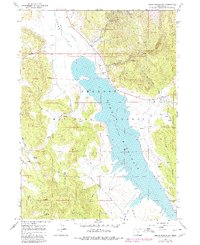
1964 Map of Drews Reservoir
USGS Topo · Published 1980About this map
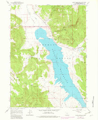
Drews Reservoir dominates the high desert landscape of Lake County, its waters held at a spillway elevation of 4,915 feet. This 1964 survey, revised in 1980, shows the reservoir framed by the protected lands of the Fremont National Forest and the rising slopes of the Willow Creek Hills. The map details a landscape transition from the agricultural operations at Hay Creek Ranch to the more primitive reaches of Drews Valley. Dozens of water sources, including Kernan Spring and Salt Spring, are identified throughout the terrain, suggesting the vital importance of water management in this arid region. For researchers, the presence of the La Sere Trail and various named waterways like Chandler Creek and Sage Hen Creek provides a clear view of the rural infrastructure and drainage patterns that have long supported cattle ranching and timber interests in the Oregon backcountry.
Find a feature on this map
26 named features on this map. Tap any name to fly to it.
Don’t see what you’re looking for? This feature index may not catch every label — zoom into the map to look around manually.
Map Details
Editions of this 1964 Drews Reservoir Map
3 editions found
Other maps of this area

1955 · Klamath Falls
USGS Topo · 1:250,000

1958 · Klamath Falls
USGS Topo · 1:250,000

1960 · Strawberry Butte
USGS Topo · 1:62,500

1960 · Fishhole Mtn
USGS Topo · 1:62,500

1964 · Drews Reservoir
USGS Topo · 1:24,000

1964 · Cox Flat
USGS Topo · 1:24,000
1964 · Dog Lake
USGS Topo · 1:24,000

1964 · Cougar Peak
USGS Topo · 1:24,000
1964 · Fitzwater Point
USGS Topo · 1:24,000

1964 · Drews Gap
USGS Topo · 1:24,000