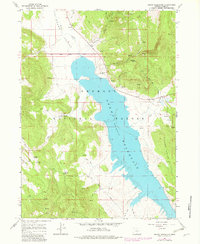
1964 Map of Drews Reservoir
USGS Topo · Published 1983About this map
Drews Reservoir dominates this high-desert landscape in Lake County, where the impounded waters of Drews Creek and Chandler Creek gather within the eastern reaches of the Fremont National Forest. Grounded in field work from the early 1960s with updates from 1980, the sheet reveals a terrain defined by water management and ranching. The Hay Creek Ranch sits along the northern shore, situated where the open expanse of Drews Valley meets the rising slopes of Willow Creek Hills. Numerous water sources like Kerman Spring, Salt Spring, and Dip Spring are mapped across the topography, indicating the vital importance of reliable water for livestock and forest management in this arid environment. The presence of Dent Creek Road and various Jeep Trails provides evidence of the forest's utility for both local commerce and back-country access during the mid-to-late 20th century.
Find a feature on this map
27 named features on this map. Tap any name to fly to it.
Don’t see what you’re looking for? This feature index may not catch every label — zoom into the map to look around manually.
Map Details
Editions of this 1964 Drews Reservoir Map
3 editions found
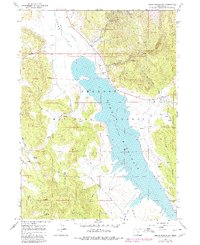
Other maps of this area

1955 · Klamath Falls
USGS Topo · 1:250,000

1958 · Klamath Falls
USGS Topo · 1:250,000

1960 · Strawberry Butte
USGS Topo · 1:62,500

1960 · Fishhole Mtn
USGS Topo · 1:62,500

1964 · Drews Reservoir
USGS Topo · 1:24,000

1964 · Cox Flat
USGS Topo · 1:24,000
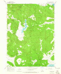
1964 · Dog Lake
USGS Topo · 1:24,000

1964 · Cougar Peak
USGS Topo · 1:24,000
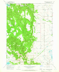
1964 · Fitzwater Point
USGS Topo · 1:24,000

1964 · Drews Gap
USGS Topo · 1:24,000