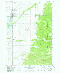
1978 Map of Driggs
USGS Topo · Published 1978About this map
The Teton Basin floor meets the rising slopes of the Targhee National Forest in this late-1970s survey. Centered on the town of Driggs, the map documents a transition from the agricultural and transportation corridor of the Union Pacific railroad to the dense drainages of the eastern mountains. Local genealogy and settlement history are anchored by landmarks like Driggs Cem and the Driggs-Darby Cem, while the town itself shows established infrastructure including Teton HS and the Driggs-Teton Peaks Municipal Airport.
Find a feature on this map
37 named features on this map. Tap any name to fly to it.
Don’t see what you’re looking for? This feature index may not catch every label — zoom into the map to look around manually.
Map Details
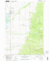
Editions of this 1978 Driggs Map
2 editions found
Other maps of this area

1899 · Grand Teton
USGS Topo · 1:125,000

1901 · Grand Teton
USGS Topo · 1:125,000

1943 · Driggs
USGS Topo · 1:62,500

1946 · Driggs
USGS Topo · 1:62,500

1955 · Driggs
USGS Topo · 1:250,000

1958 · Driggs
USGS Topo · 1:250,000

1962 · Driggs
USGS Topo · 1:250,000

1965 · Clawson
USGS Topo · 1:24,000
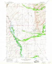
1965 · Tetonia
USGS Topo · 1:24,000
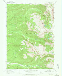
1968 · Granite Basin
USGS Topo · 1:24,000