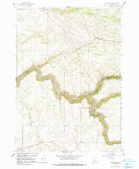
1965 Map of Drummond
USGS Topo · Published 1991About this map
Drummond and the small agricultural community of France anchor the high plains of Eastern Idaho in this mid-1960s survey. The landscape is defined by the sharp incision of the Teton River and its major tributaries, including Bitch Creek and Badger Creek, which cut deep canyons through the undulating wheat country. This intersection of topography and utility is visible at the Felt Dam and its associated Powerhouse and Penstocks, where the river's descent is harnessed for energy.
Find a feature on this map
21 named features on this map. Tap any name to fly to it.
Don’t see what you’re looking for? This feature index may not catch every label — zoom into the map to look around manually.
Map Details
Editions of this 1965 Drummond Map
2 editions found
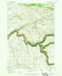
Other maps of this area

1955 · Ashton
USGS Topo · 1:250,000

1955 · Driggs
USGS Topo · 1:250,000

1957 · Warm River Butte
USGS Topo · 1:62,500

1958 · Driggs
USGS Topo · 1:250,000

1958 · Ashton
USGS Topo · 1:250,000

1960 · Ashton
USGS Topo · 1:250,000

1962 · Driggs
USGS Topo · 1:250,000

1965 · Lamont
USGS Topo · 1:24,000

1965 · Ashton
USGS Topo · 1:24,000

1965 · Packsaddle Lake
USGS Topo · 1:24,000