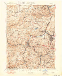
1924 Map of Du Bois
USGS Topo · Published 1950About this map
Du Bois and Reynoldsville anchor this 1920s landscape, where industrial progress and rural education intersect in Jefferson and Clearfield Counties. The terrain is defined by a dense network of competing rail lines, including the Pennsylvania RR and the Pittsburg and Shawmut RR, which supported local coal and timber interests. The distribution of numerous small schools like the Rockdale School, Sugar Hill School, and Mile Hill School reflects a decentralized, community-focused population pattern before the mid-century consolidation of school districts.
Find a feature on this map
137 named features on this map. Tap any name to fly to it.
Don’t see what you’re looking for? This feature index may not catch every label — zoom into the map to look around manually.
Map Details
Editions of this 1924 Du Bois Map
5 editions found
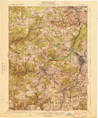
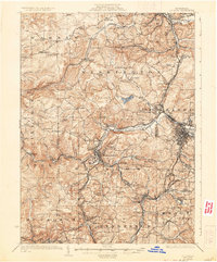
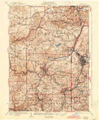
Other maps of this area

1903 · Curwensville
USGS Topo · 1:62,500

1906 · Punxsutawney
USGS Topo · 1:62,500

1909 · Smicksburg
USGS Topo · 1:62,500

1918 · Loleta
USGS Topo · 1:62,500

1922 · Du Bois
USGS Topo · 1:62,500

1924 · Du Bois
USGS Topo · 1:62,500

1924 · Brookville
USGS Topo · 1:62,500

1926 · Brookville
USGS Topo · 1:62,500

1929 · Penfield
USGS Topo · 1:62,500

1932 · Penfield
USGS Topo · 1:62,500