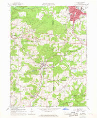
1966 Map of Du Bois
USGS Topo · Published 1968About this map
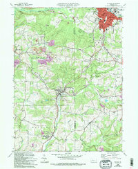
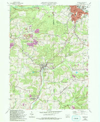
Industrial extraction and transit define the landscape of the Jefferson and Clearfield county border during the mid-1960s. Extensive Strip Mines are carved into the hills surrounding Rathmel and Soldier, indicating the dominant role of surface mining in the local economy. The urban center of Du Bois sits at the northern edge of the sheet, served by the Baltimore and Ohio RR and the Penn Central rail lines. This rail infrastructure converges at C & M Junction, facilitating the movement of coal and timber through the Sandy Lick Creek valley.
Find a feature on this map
73 named features on this map. Tap any name to fly to it.
Don’t see what you’re looking for? This feature index may not catch every label — zoom into the map to look around manually.
Map Details
Editions of this 1966 Du Bois Map
6 editions found
Other maps of this area

1903 · Curwensville
USGS Topo · 1:62,500

1906 · Punxsutawney
USGS Topo · 1:62,500

1922 · Du Bois
USGS Topo · 1:62,500

1924 · Du Bois
USGS Topo · 1:62,500

1929 · Penfield
USGS Topo · 1:62,500

1932 · Penfield
USGS Topo · 1:62,500

1939 · Curwensville
USGS Topo · 1:62,500

1939 · Punxsutawney
USGS Topo · 1:62,500

1942 · Curwensville
USGS Topo · 1:62,500

1942 · Punxsutawney
USGS Topo · 1:62,500