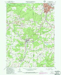
1966 Map of Du Bois
USGS Topo · Published 1986About this map
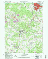
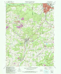
Industrial activity and established settlements dominate this mid-century view of the Jefferson and Clearfield County border. The city of Du Bois serves as the regional anchor, where the Baltimore and Ohio and Conrail lines intersect near concentrated residential districts and landmarks like the Maple Avenue Hospital. Outside the urban center, the landscape is defined by extensive extraction operations, including numerous strip mines that follow the contours of the terrain above Sandy Lick Creek and its many tributaries.
Find a feature on this map
76 named features on this map. Tap any name to fly to it.
Don’t see what you’re looking for? This feature index may not catch every label — zoom into the map to look around manually.
Map Details
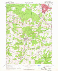
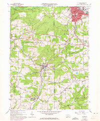
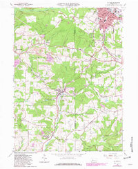
Editions of this 1966 Du Bois Map
6 editions found
Other maps of this area

1903 · Curwensville
USGS Topo · 1:62,500

1906 · Punxsutawney
USGS Topo · 1:62,500

1922 · Du Bois
USGS Topo · 1:62,500

1924 · Du Bois
USGS Topo · 1:62,500

1929 · Penfield
USGS Topo · 1:62,500

1932 · Penfield
USGS Topo · 1:62,500

1939 · Curwensville
USGS Topo · 1:62,500

1939 · Punxsutawney
USGS Topo · 1:62,500

1942 · Curwensville
USGS Topo · 1:62,500

1942 · Punxsutawney
USGS Topo · 1:62,500